What We Do
Services
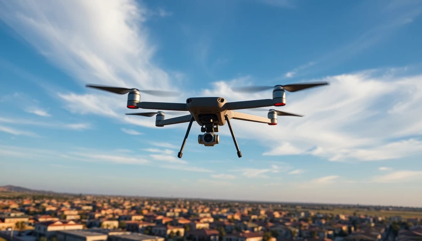
End-to-end drone imaging solutions — from flight planning to final deliverables. Every dataset is processed to survey-grade accuracy.
Aerial Photogrammetry
We capture thousands of overlapping aerial images and process them into precise 2D and 3D datasets. Ideal for topographic surveys, site documentation, and as-built verification.
Orthomosaic Mapping
Generate distortion-free, georeferenced aerial maps where every pixel has real-world coordinates. Perfect for GIS integration, area measurements, and visual inspection.
LiDAR Scanning
Airborne LiDAR penetrates vegetation canopy to capture dense point clouds of the terrain below. Sub-centimeter accuracy for floodplain studies, forestry, and corridor mapping.
3D Terrain Modeling
Digital Surface Models (DSM) and Digital Terrain Models (DTM) for grading plans, cut/fill analysis, and site visualization. Delivered in industry-standard formats.
Volumetric Analysis
Precise stockpile measurements and earthwork calculations from drone-captured data. Track material quantities over time with repeat flyovers and change detection.
Construction Progress
Scheduled flyovers document construction milestones, verify site conditions, and compare progress against design models. Keep stakeholders aligned with visual reports.
Process
How It Works
01. Scope — We review your site, define deliverables, and plan the flight mission.
02. Capture — FAA-certified pilots execute the survey with redundant GPS and ground control.
03. Process — Raw data is processed into your requested deliverables using industry-leading software.
04. Deliver — Final datasets delivered in your preferred format with full QA documentation.
Equipment
Our Fleet
DJI Matrice 350 RTK + Zenmuse L2 LiDAR
DJI Mini 5 Pro
Emlid RS3 GNSS Base Station
Deliverables
Output Formats
GeoTIFF orthomosaics
LAS/LAZ point clouds
DXF/DWG CAD files
Shapefile / GeoJSON
PDF reports with QA metrics