Stormwater Detention Design: Using LiDAR to Size Basins Right the First Time
January 1, 2099
A detention basin that's too small fails its first real storm. One that's too big wastes land area you could have developed. The difference between getting it right and getting it wrong comes down to two things: the accuracy of your drainage area delineation and the precision of your storage volume calculation.
Both depend on terrain data. And on most development projects, the terrain data isn't good enough.
The Stormwater Problem in Southern California
Southern California has an unusual hydrology challenge. Long dry periods followed by intense, short-duration storm events. The 85th percentile, 24-hour rainfall event — the standard design storm for water quality under the MS4 NPDES permits that govern most of the region — ranges from about 0.5 inches in coastal San Diego to over 1 inch in foothill areas of the San Gabriel and San Bernardino valleys.
That doesn't sound like much. But when you convert a 50-acre parcel from permeable open land to impervious rooftops and pavement, the runoff coefficient jumps from maybe 0.15 to 0.85 or higher. The volume of water your site generates during that design storm increases fivefold or more. And every drop has to go somewhere.
County drainage departments across the region — LA County Public Works, Riverside County Flood Control, San Diego County Watershed Protection — require that new development detain or retain the increase in peak runoff and often the total storm volume for water quality treatment. The specifics vary by jurisdiction, but the core requirement is the same: your project can't make downstream flooding worse than pre-development conditions.
Where Basin Sizing Goes Wrong
The sizing equation for a detention basin is conceptually simple. Estimate the inflow hydrograph (how much water arrives over time), subtract the outflow (controlled by your outlet structure), and the difference is the volume you need to store.
In practice, the inflow side of that equation depends heavily on:
- Drainage area boundaries — exactly which land drains to your basin
- Time of concentration — how long it takes water to travel from the farthest point in the drainage area to the basin inlet
- Slope and roughness — the terrain characteristics that control flow velocity
- Depression storage — low spots in the terrain that hold water before it reaches the basin
Every one of those parameters comes from the terrain model. If your terrain model is a 2-foot contour map derived from a sparse ground survey, your drainage area boundaries could be off by 10 to 15 percent. Your time of concentration calculation — which is extremely sensitive to slope — could be off by 20 percent or more. And depression storage? Forget it. You can't quantify micro-depressions you can't see.
The downstream effect: your basin is sized for a drainage area and a flow rate that don't match reality. It either overflows during the design storm (permit violation, downstream damage, liability) or it's oversized by 30 percent (wasted land, wasted construction cost, and your client asking why three more lots couldn't fit on the pad).
How LiDAR Fixes the Hydrology

A LiDAR-derived terrain model at 1-foot resolution or better changes the hydrology calculation from estimated to measured.
Accurate Drainage Area Delineation
Drainage boundaries follow the terrain. Water flows perpendicular to contour lines. On a LiDAR surface with millions of elevation points, the flow direction algorithm traces water movement cell by cell across the entire site. Every ridge, every saddle, every divide is captured at the resolution of the data — typically 0.5 to 1 foot.
Compare that to delineating drainage areas on 2-foot contours. The contour lines smooth over terrain features that actually redirect flow. A small berm, a road crown, an old agricultural levee — features invisible at 2-foot contour resolution but captured in LiDAR — can shift drainage boundaries by hundreds of feet.
On a 50-acre site with multiple drainage management areas, those boundary shifts change the tributary area to each basin. And tributary area is the single biggest variable in the sizing equation.
Slope-Driven Time of Concentration
Time of concentration (Tc) is the other critical variable. A shorter Tc means a higher peak flow rate, which means a bigger basin or bigger outlet structure. The standard calculation methods — Kerby, Kirpich, TR-55 — all use slope as a primary input.
When slope is averaged from sparse survey data, you lose the terrain variation that actually controls flow velocity. A 200-foot overland flow path might average 3 percent slope, but if it includes a 15-foot section at 12 percent slope followed by a flat bench, the flow dynamics are completely different than a uniform 3 percent grade. LiDAR captures those transitions. The Tc calculation reflects real terrain instead of averaged terrain.
Pre-Development Depression Storage
Here's one that most hydrology studies ignore entirely because the data to quantify it doesn't exist in traditional surveys.
Depression storage is the volume of water trapped in terrain low spots before runoff begins. On undeveloped land with natural micro-topography, depression storage can absorb the first 0.1 to 0.3 inches of rainfall before any water reaches the outlet. That sounds trivial, but on a 50-acre tributary area, 0.2 inches of depression storage equals about 27,000 cubic feet of volume — volume that never reaches your basin under pre-development conditions.
When you grade that land flat and pave it, depression storage drops to near zero. The increase in runoff isn't just from the change in imperviousness — it's also from the loss of terrain roughness. LiDAR quantifies the pre-development depression storage so your hydrologist can account for it properly in the pre-vs-post comparison.
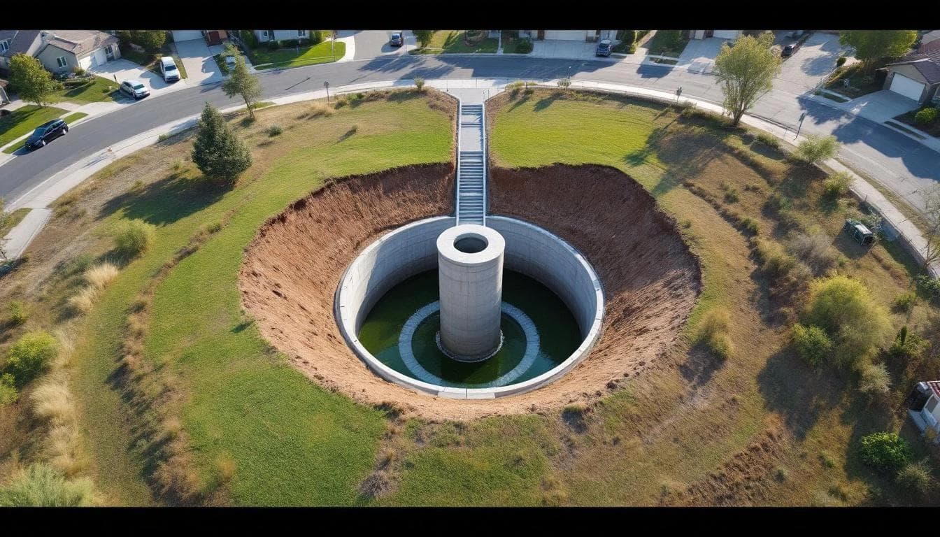
Volume Calculation at the Basin Site
Once you know how much water needs to be stored, you need to know how much volume the proposed basin location can hold. This is a geometry problem. And geometry problems need accurate geometry.
A detention basin carved into a hillside doesn't have a flat bottom and vertical walls. It follows the natural terrain on the uphill side and has constructed slopes on the downhill side. The stage-storage relationship — how volume increases with depth — is a function of the terrain surface within the basin footprint.
With a LiDAR-derived surface model, the stage-storage calculation uses actual ground elevations at every point within the basin. You're integrating real surface geometry, not interpolated contours. The result: your stage-storage curve is accurate to within a few percent of reality. Your engineer can size the outlet structure knowing the curve is trustworthy.
Without LiDAR? The stage-storage curve is based on assumed grades between survey points. On a basin site with any terrain variability, the error can easily reach 15 to 20 percent of total volume. That's the difference between a basin that works and one that doesn't.
The Regulatory Feedback Loop

Here's what happens on projects where the hydrology doesn't hold up under agency review.
The county drainage engineer looks at the basin sizing calculations. The drainage area delineation doesn't match the terrain visible on available aerial imagery. The time of concentration seems optimistic. The reviewer asks for backup documentation of the existing terrain data.
Your engineer submits the topographic survey basis — sparse shot points, interpolated contours. The reviewer flags it as insufficient for the level of analysis required. Back to square one. Revised hydrology study. Possibly revised basin design. Months of delay.
With a LiDAR-derived terrain model as the basis, the backup documentation is the data itself — millions of georeferenced elevation measurements at documented accuracy. The drainage area boundaries are defensible because they're derived from high-resolution flow analysis, not hand-drawn lines on a contour map. The basin volumes are defensible because they're calculated from measured terrain, not assumed terrain.
Reviewers at agencies like Riverside County Flood Control are increasingly familiar with LiDAR-based submittals. Some are starting to prefer them. The data is simply harder to argue with.
What This Looks Like on a Real Project
Picture a 60-acre residential subdivision in Murrieta. The project has three drainage management areas, each flowing to its own detention basin. The preliminary hydrology study was done against 2-foot contours from a 2019 ground survey.
A pre-construction LiDAR flight reveals several things the original terrain data missed:
- DMA-2's actual tributary area is 15 percent larger than delineated, because a subtle terrain ridge that the 2-foot contours showed as the drainage divide is actually 80 feet further east
- Basin 3's site has a natural depression that provides 4,000 cubic feet of usable volume the original calculation didn't capture — the basin can be 12 percent smaller
- The overland flow path to Basin 1 includes a steep section through an existing erosion gully that reduces time of concentration by 3 minutes, increasing peak inflow by 8 percent
Net result: Basin 2 needs to be larger, Basin 3 can be smaller, and Basin 1's outlet structure needs resizing. The redesign takes the engineer two weeks. Discovering these issues during construction would have taken months and hundreds of thousands of dollars.
Timing and Cost
The ideal window for a stormwater-focused LiDAR flight is during the design development phase, after the conceptual site plan is established but before the hydrology study and basin design are finalized. This gives the hydrologist and the civil engineer the terrain data they need to get the first submission right.
Cost runs $3,000 to $8,000 for most development-scale parcels. Processing for hydrology-specific deliverables — DTM, flow direction, flow accumulation, drainage area delineation, depression storage analysis — adds another week to the standard turnaround.
Compared to the cost of a basin redesign, a plan check revision cycle, or an undersized basin that fails its first inspection? Not close.
Sources & Further Reading
The technical claims in this article are grounded in standards and data from the following authoritative sources. We recommend these for deeper reading on the methodologies referenced above.