How Weekly Drone Surveys Catch Grading Errors Before They Cost You $43K
March 30, 2026
The headline number in the title is a representative example, not a universal claim. The underlying argument is rooted in real industry data: rework costs the construction industry an enormous amount of money every year, and a substantial fraction of it traces back to information that was wrong or stale at the time decisions were made. Weekly drone surveys are one mitigation — not a silver bullet, but a measurable improvement on the data quality that grading decisions are made from.
How much rework actually costs
Construction-industry research consistently puts direct rework costs at 4–10% of total project budget. The Construction Industry Institute (CII) reports an average of about 5% of total construction costs. ASCE's January 2026 review of field rework cited similar ranges and noted that indirect costs (schedule impact, productivity loss, downstream coordination) can run 6× the direct cost.
On a $1M earthwork package, that's $40,000–$100,000 of direct rework cost, with potential indirect impact several times higher. The "$43K" example in the title sits in the middle of that distribution for a single grade error on a meaningful pad. We've seen variants of it on projects we've worked on; the actual dollar value depends on the size of the affected area, the stage at which the error is caught, and what else needs to be touched to fix it.
Where the cost actually comes from
The same rework studies break down the causes. Miscommunication is the largest single driver (~26%), followed by bad data or inaccurate information (~14–22%). For earthwork specifically:
- Pad elevation set against stale or incorrect topo — finished elevation doesn't match the design intent, especially around adjacent infrastructure.
- Drainage routing assumed from incomplete terrain data — water collects where it wasn't supposed to, or fails to drain off where it was.
- Cut/fill quantities calculated against pre-grading terrain that's already been modified — import/export estimates miss reality, change orders follow.
- Grade breaks miscommunicated between estimating and field — the spec gets built right relative to its own datum but wrong relative to neighbors.
Every one of those is, fundamentally, an information-quality problem. The grading crew built what the data said. The data was wrong.
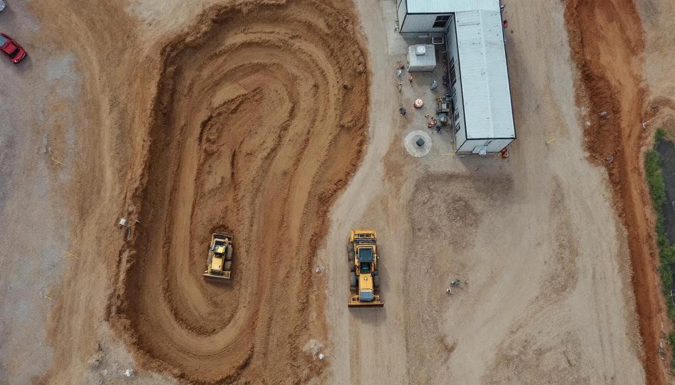
What weekly drone coverage actually does
A weekly drone flyover produces three things the project didn't have before:
Current topographic ground-truth
An as-of-this-week bare-earth surface from drone LiDAR or photogrammetry, referenced to the same datum as the design. Production accuracy on the DJI Zenmuse L2 we operate is in the 2–5 cm RMSEz range on bare earth, per ASPRS Edition 2 (2024) accuracy testing. That's roughly an order of magnitude tighter than the design tolerances most grading specs are written against.
Visual record of progress
An orthomosaic at 2–5 cm/pixel and oblique photos of the site. Useful for documentation, daily reports, and after-the-fact reconstruction when something gets disputed. Date- and location-stamped, georeferenced to the project CRS.
Cut/fill comparison against design
The current as-built surface, differenced against the design surface, produces a depth-of-cut and depth-of-fill raster showing exactly where the site stands relative to the design. Areas hot or cold by more than the grading tolerance pop out visually. This is the deliverable that most directly drives course corrections.

Why weekly instead of monthly or daily
Weekly is a practical compromise. Daily flights are operationally expensive — for most sites, the day-to-day change isn't large enough to justify the data collection cost, and the change-detection signal gets buried in measurement noise. Monthly flights miss meaningful events; by the time the next flight happens, a misgraded pad has already been paved over.
Weekly intervals catch most actionable grading errors before they become structural commitments. On most sites in our experience:
- By Tuesday afternoon you have the previous week's progress and any deviations against design.
- On Wednesday morning the project meeting reviews exceptions.
- Any correction needs are baked into the next week's plan — before more dirt is moved on top of the error.
What a weekly program actually looks like
A typical weekly site monitoring engagement covers a 20–100 acre active site with the following cadence:
- Same day each week for the flyover (consistency helps comparison).
- 60–90 minutes on site for setup, base station deployment, flight, and shutdown.
- 48–72 hour turnaround on the deliverable — orthomosaic, surface comparison, exception report.
- Deliverables in formats compatible with the project's design platform — typically ASPRS LAS/LAZ for point cloud, LandXML for surface, GeoTIFF for orthomosaic, and a project-specific cut/fill report. See our Civil 3D integration guide for typical workflow.
How to measure ROI on a weekly program
The straightforward way is to compare program cost against rework avoided. With CII's 5% average rework figure as a baseline, a $5M earthwork project carries ~$250K in expected rework cost across the project life. Weekly monitoring costs a fraction of that — even one prevented grade-correction event typically covers the program.
More useful for internal justification: count exception reports over the program. A specific case where the surface comparison flagged a deviation, the field fix happened that week, and the alternative scenario (catching the same error after pavement) would have cost more than the monitoring did. Project teams that track this internally generally renew.
Detailed pricing ranges are in our 2026 cost guide.
Where weekly monitoring underperforms
It's not a fit for every site. Cases where the math doesn't work:
- Very small sites (< 5 acres) where the weekly cost-to-progress ratio is unfavorable.
- Sites with mostly vertical construction and minimal earthwork — there's no terrain to monitor.
- Sites where the construction is happening too fast for weekly cadence (rare for grading; more common for vertical phases).
- Sites with prohibitive airspace restrictions that make routine drone operation impractical.
For everything else — active earthwork, large grading scopes, sites with complex drainage, projects with design-intent surfaces that need verification — weekly monitoring is a defensible line item against the rework rates the industry actually carries.
The information-quality argument, in plain English
Construction is one of the few industries where, per the ASCE 2025 Infrastructure Report Card, the underlying assets are visibly aging and the supporting data is older than the assets. Better information at the time decisions are made improves the outcomes. That's not a controversial claim — it's the same argument that drives every form of project controls.
Weekly drone surveys are one specific application of that principle: the information about what the ground actually looks like right now should be at least as good as the information about what it's supposed to look like. When it's not, the project pays the difference.
Sources cited in this article
- Construction Management Association of America / Construction Industry Institute — Impact of Rework on Construction
- ASCE — How much does field rework in construction actually cost? (Jan 2026)
- PlanRadar — Cost of Rework in Construction (2025 industry summary)
- ASCE — 2025 Infrastructure Report Card
- ASPRS — Positional Accuracy Standards Edition 2 (2024)
- ASPRS — LAS/LAZ file format
- DJI — Zenmuse L2 official specifications
- USGS — 3DEP Topographic Data Quality Levels