The Real Cost of Drone Surveys in 2026: Honest Pricing for Every Project Type
March 28, 2026
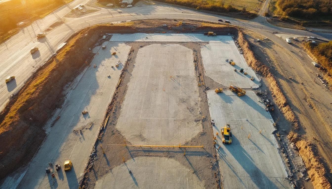
The honest answer to "what does a drone survey cost" starts with this: pricing varies more than most categories of professional services, because the drivers (area, vegetation, accuracy class, deliverable specificity, regulatory environment) genuinely move the number a lot. This guide lays out the realistic ranges from published 2025-2026 industry sources, the cost drivers that move you within those ranges, and what each dollar actually buys.
All ranges below are anchored to published industry sources. Your actual quote will fall somewhere in these bands depending on your site and deliverable spec — and any provider giving you a number wildly outside these ranges should explain why.
Per-acre ranges by method
Published 2025-2026 industry pricing surveys cluster around these per-acre ranges. They're broad — partly because rates legitimately vary, partly because different methodologies are bundled differently.
Drone photogrammetry
Per-acre rates run roughly $15–$50 per acre for projects past minimum-job size, with simple orthomosaic-only work potentially lower ($5–$15) and complex feature extraction higher ($60–$80). Industry pricing surveys and drone-services rate guides consistently report ranges in this band for typical commercial work.
Drone LiDAR
Published LiDAR rate ranges run $30 to $500 per acre — the spread driven by sensor cost, accuracy class, point density, and vegetation complexity. Most commercial LiDAR work clusters in the $150–$500/acre band for typical commercial sites, with larger projects achieving lower per-acre rates through scale economics.
Traditional ground survey
Hard to express cleanly per acre because traditional survey is point-based, not area-based. For boundary work, expect a per-day rate ($1,500–$3,000+/day for a licensed surveyor with crew). For terrain coverage at scale, ground survey is generally not the right tool — drone methods are typically 50–75% less expensive than traditional ground survey for equivalent area coverage.
Project-size pricing by typical scope
Most commercial drone work is quoted as a project, not strictly per acre. Published industry ranges for typical project sizes:
Small sites (under 10 acres)
$1,500–$3,500 typical, depending on deliverable spec and accuracy class. The lower end is photogrammetry with orthomosaic deliverable. The higher end is LiDAR with full classified point cloud and ASPRS-compliant accuracy report.
Medium sites (10–50 acres)
$3,500–$12,000 typical for commercial/industrial deliverables. Accuracy requirements, vegetation density, and the need for FEMA-conformant or LandXML deliverables push toward the higher end.
Large sites (50+ acres)
$12,000 to $50,000+ for large-scale projects, with per-acre rates declining as project size grows. Multi-day acquisitions, mobilization across distant areas, and regulatory deliverables push the upper bound higher.
What actually drives the price within those ranges
Accuracy class
Tighter accuracy requires more ground control, more careful flight planning, longer processing time, and more rigorous QA against ASPRS Edition 2 (2024) standards. A project specified to 5 cm RMSEz costs less than one specified to 2 cm RMSEz, even on the same site with the same sensor.
Sensor and platform
LiDAR (e.g., DJI Zenmuse L2 / Matrice 350 RTK) costs roughly 2–3× photogrammetry on the same site because of hardware cost amortization and processing complexity. For sites where photogrammetry can produce the required deliverable, it's the cheaper answer.

Vegetation density
Heavy canopy requires more flight overlap, lower-altitude passes, and more manual review of ground classification. A vegetated 20-acre site can run twice the cost of a bare 20-acre site for the same deliverable.
Ground control requirements
Projects with formal accuracy reporting need 30+ independent survey checkpoints (the current ASPRS minimum), each tied to authoritative control. Ground crew time for checkpoint survey is real labor.
Airspace complexity
Class B/C/D airspace authorization via LAANC is usually fast, but airspace requiring manual ATC coordination or blanket COA work adds time and cost.
Deliverable specificity
A point cloud and a DEM is a different scope than a point cloud, DEM, LandXML, contour lines, orthomosaic, breaklines, hydro-flattened output, and a 30-checkpoint accuracy report. The marginal cost of additional deliverables is small once data is collected, but the spec materially affects the quote.
Turnaround time
Standard turnaround (2–3 weeks) is built into baseline rates. Rush delivery (48–72 hour turnaround on processing) typically runs a 25–50% premium and not every provider offers it.
Cost vs. existing free data
Before commissioning any new acquisition, the cost comparison includes the option to use existing free public data. The USGS 3D Elevation Program (3DEP) has reached 98.3% national coverage at Quality Level 2 or better (10 cm RMSEz, 2 pts/m²).
If 3DEP coverage exists, is recent, and meets your accuracy and density needs, it's free. The reasons to spend money on a new acquisition are specific: the area has changed since the last collection, you need point density above 2 pts/m², you need accuracy tighter than QL2's 10 cm RMSEz, or you need turnaround in days. See our LiDAR vs photogrammetry comparison for the decision framework.
Where the cost comparison usually fails
The wrong comparison is drone survey cost vs. no survey at all — that's not really the alternative on most commercial sites. The real comparison is drone survey vs. one of:
- Lower-cost photogrammetry on a vegetated site → produces an inaccurate bare-earth model, downstream design suffers, rework follows.
- Traditional ground survey → equivalent terrain coverage costs significantly more time and money, with fewer ground points captured.
- Working from outdated topo → grade errors caught after construction commits, with industry-average rework at 4-10% of total project cost and indirect costs running multiples of the direct figure.
On most commercial sites, the cost of a drone survey is well below the cost of any of those alternatives — but the comparison has to be done honestly against what the project would otherwise spend, not against zero.
Twinn Digital's pricing approach
Our pricing for Southern California work falls inside the published commercial ranges above, with specifics dependent on:
- Site area and access (including airspace coordination if applicable)
- Sensor selection — LiDAR or photogrammetry, based on what your deliverable actually needs (see our LiDAR vs photogrammetry comparison)

- Target accuracy class against ASPRS Edition 2
- Deliverable scope (everything from point cloud only through full Civil 3D / FEMA-conformant deliverables)
- Turnaround required
We provide written scopes that specify all of the above, not just a top-line number, so the basis for the quote is auditable. For a project-specific quote, see what to expect when hiring a drone surveyor for the questions worth asking, and 12 questions to ask a drone LiDAR provider for evaluation criteria across vendors.
Red flags in pricing
- A flat per-acre rate quoted without seeing the site. Vegetation density, ground access, airspace, and accuracy class all materially affect cost — flat rates indicate the provider isn't pricing the actual job.
- Prices significantly below the published industry ranges. Either the deliverable spec is much narrower than typical, the provider isn't carrying insurance / Part 107 / current sensors, or the quality bar is much lower.
- Prices significantly above the published ranges with no documented justification. Specialty work (highly vegetated, high accuracy class, regulatory submittal) can legitimately exceed standard ranges, but it should come with an explanation.
- Quotes that don't specify accuracy class, deliverable formats, or insurance. The cheapest quote isn't a deal if the deliverable doesn't meet your needs.
Sources cited in this article
- Future 3D — Drone Survey Cost Guide 2026 (published industry pricing reference)
- Future 3D — Aerial Survey Cost Guide 2026 (method/area/accuracy pricing)
- UAVSphere — Drone Survey Costs Complete Pricing Guide
- FlyGuys — How Much Do Drone LiDAR Services Cost?
- UAV Coach — Drone Services Pricing Guide
- ROCK Robotic — Value-Based Pricing for Drone LiDAR
- Construction Management Association of America / CII — Impact of Rework on Construction
- ASPRS — Positional Accuracy Standards Edition 2 (2024)
- DJI — Zenmuse L2 official specifications
- USGS — 3DEP Topographic Data Quality Levels
- USGS — FY25 3DEP Coverage Status
- FAA — Part 107 Small UAS Rule