Drone LiDAR Accuracy: What Sub-2cm Really Means and How to Verify It
June 5, 2026
Every drone LiDAR provider claims sub-2cm accuracy. Some claim sub-centimeter. The sales sheets and website banners are full of these numbers. What's usually missing is the context: under what conditions, measured how, and verified against what.
Accuracy isn't a single number. It's a statistical statement bounded by probability, conditioned on a long list of variables, and only meaningful when the conditions and methodology are documented. Understanding what "sub-2cm" actually means — and knowing how to prove it on your project — separates survey-grade work from marketing copy.
Accuracy vs. precision vs. resolution
These three terms are often used interchangeably. They shouldn't be. ASPRS defines them rigorously in its Positional Accuracy Standards — the short version:
- Accuracy is how close measurements are to the true value. A LiDAR surface that reads 324.15 m at a point where the surveyed truth is 324.13 m is accurate to 2 cm at that point.
- Precision is how repeatable measurements are. Ten flights returning 324.14, 324.15, 324.16, 324.14, 324.15… for the same point is precise. It may or may not be accurate — all ten could be biased 5 cm off truth.
- Resolution is the smallest feature the data can represent. A point cloud at 100 pts/m² can resolve features on the order of 10 cm. Resolving a feature and accurately positioning it are different things.
When a vendor says "sub-2cm accuracy," they should mean: the root-mean-square error (RMSE) of measured elevations compared to independent ground truth is under 2 cm, demonstrated against a documented checkpoint set. That claim only holds under specific conditions, on specific surfaces, with a specific test methodology.
The error budget: where accuracy actually goes
Drone LiDAR accuracy is the sum of multiple independent error sources. Total error is roughly the root-sum-square of the components.
GNSS positioning (1–3 cm)
The drone's position comes from RTK or PPK GNSS processing. Under good conditions — clear sky, short baseline, strong satellite geometry — drone RTK achieves 1–3 cm horizontal and 2–4 cm vertical accuracy. The DJI Zenmuse L2 specifies 1 cm + 1 ppm horizontal and 1.5 cm + 1 ppm vertical positioning accuracy in RTK FIX mode (per DJI's official datasheet).
PPK processing typically matches or beats RTK and supports much longer baselines — up to about 100 km versus RTK's effective limit around 35 km. PPK can also recover from short GNSS outages by smoothing through the IMU solution; extended gaps still produce degraded positions.
When a local base station isn't practical, NOAA's National Geodetic Survey operates the CORS network — a national set of Continuously Operating Reference Stations that delivers centimeter to sub-centimeter post-processed accuracy across the U.S. when baselines are short and the data quality is good.
Conditions that degrade GNSS: multipath from nearby structures, high PDOP (>3), long baselines (>10 km for RTK, longer is fine for PPK), and signal interruptions.
IMU orientation (1–3 cm equivalent at typical altitudes)
The inertial measurement unit gives the sensor's roll, pitch, and heading. Angular errors translate to ground-position errors as a function of altitude. The DJI Zenmuse L2 datasheet specifies post-processed pitch/roll accuracy of 0.025° and yaw accuracy of 0.05° (real-time figures are 0.05° and 0.2° respectively).
Translating angular error to ground position error, at 80 m AGL — a typical flight altitude — a 0.025° pitch/roll error produces about 3.5 cm of horizontal ground-position uncertainty from IMU alone. Flying lower reduces this proportionally; flying higher amplifies it.
Laser ranging (< 1 cm)
The LiDAR rangefinder itself is typically the smallest error source. Modern time-of-flight sensors measure distance to better than 1 cm at survey-grade ranges (the L2 has a specified detection range of 450 m at 50% reflectivity). The rangefinder rarely limits overall accuracy.
Boresight calibration (1–3 cm)
The angular offset between the laser, IMU, and GNSS antenna must be precisely calibrated. A boresight error of 0.01° at 80 m AGL shifts every point by about 1.4 cm. Boresight is calibrated by flying overlapping strips over a calibration target field and solving for the angular offsets that minimize inter-strip discrepancy.
Calibration should be verified periodically — after hard landings, sensor remounts, or firmware updates. A stale boresight is one of the most common causes of accuracy degradation that doesn't show up as an obvious problem in the point cloud.
Ground classification (variable)
This isn't a sensor error, but it affects terrain-product accuracy. If the ground-classification algorithm misidentifies low vegetation as ground, the bare-earth surface will be biased high. On grass, this can introduce 3–5 cm of apparent error unrelated to the sensor.
Testing on hard surfaces (asphalt, concrete) isolates sensor accuracy from classification effects. Testing on vegetated surfaces measures the combined system performance, including classification. ASPRS's separation of Non-Vegetated Vertical Accuracy (NVA) and Vegetated Vertical Accuracy (VVA) exists for exactly this reason.

How to verify: the ASPRS method
The ASPRS Positional Accuracy Standards for Digital Geospatial Data (Edition 2, Version 2, adopted June 2024) is the current reference framework for accuracy assessment in the US. Edition 2 made several material changes that any current accuracy work should follow:
- Minimum number of checkpoints raised from 20 to 30 for product accuracy assessment, with 120 as the upper bound for any single project.
- Eliminated references to the 95% confidence level as the headline accuracy measure.
- Removed the pass/fail requirement for Vegetated Vertical Accuracy. NVA is now the basis for pass/fail; VVA is reported but doesn't fail a project on its own.
- Introduced a unified concept of three-dimensional positional accuracy.
- Tightened ground-control and checkpoint quality requirements.
Specifically, an accuracy-assessment checkpoint set should:
- Contain at least 30 checkpoints distributed across the project area (no clustering)
- Use checkpoints surveyed to at least 3× better accuracy than the LiDAR is expected to achieve — for a 2 cm LiDAR target, that's roughly 0.7 cm checkpoint accuracy, achievable with RTK rover work tied to the NGS-managed CORS network or a published control monument
- Include multiple surface types if the accuracy statement will apply across land cover classes
- Be fully independent of any control used during processing
The math
Vertical RMSE is the standard scalar measure. For n checkpoints:
RMSEz = √(Σ(z_LiDAR − z_check)² / n)
Per the USGS 3DEP Vertical Accuracy Error Dictionary, non-vegetated and vegetated assessments are reported separately. The USGS Quality Levels map RMSEz values to named tiers — QL2 (the 3DEP baseline) requires RMSEz ≤ 10 cm at 2 points/m². To claim 2 cm class accuracy, a dataset must meet the ASPRS 2 cm vertical accuracy class, which is roughly 5× tighter than QL2.
Our standard verification workflow
On every project where the deliverable carries an accuracy statement, we run:
- Pre-flight: 8–12+ survey targets set on hard, flat surfaces distributed across the project. We use the minimum 30-checkpoint ASPRS floor for any project where a formal accuracy report is needed, with additional checkpoints on representative vegetation classes if VVA is being reported.
- Post-processing: standard PPK + ground-classification pipeline. Checkpoints are excluded from any control role in processing.
- Comparison: extract the interpolated LiDAR surface elevation at each checkpoint (TIN or weighted-average of nearby ground-classified points), not the nearest single return, which would be noisy.
- Statistics: RMSEz, mean error (to detect systematic bias), standard deviation, and 95th-percentile error. A significant non-zero mean — say, 1.5 cm positive — points to a systematic issue (geoid model, GNSS offset, boresight) that we investigate and correct before delivery rather than just reporting.
- Reporting: every topographic deliverable ships with a checkpoint accuracy report that lists per-point coordinates, LiDAR elevation, surveyed elevation, residual, and summary statistics — including the ASPRS accuracy class achieved per surface category.
What actually produces sub-2cm in practice
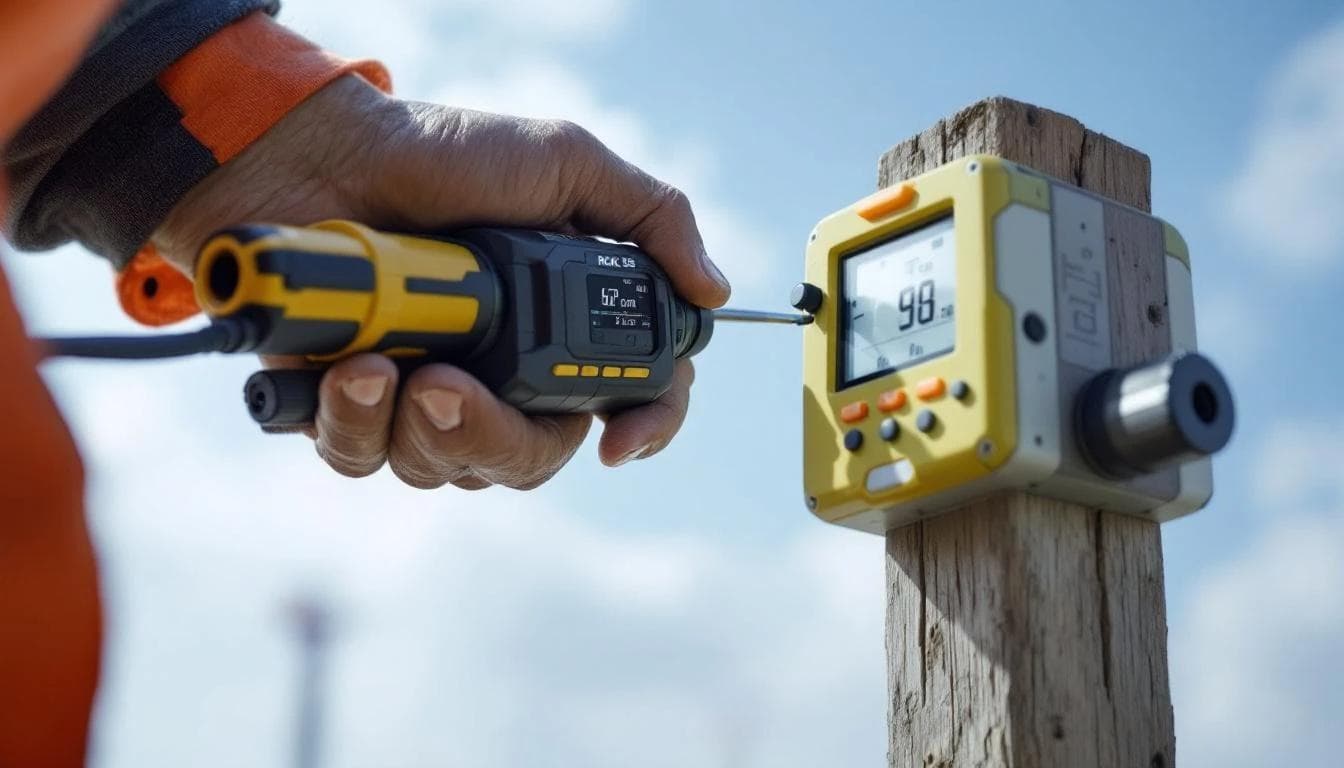
Based on production work with the DJI Zenmuse L2 on the Matrice 350 RTK platform, these are the conditions that consistently land RMSEz below 2 cm on non-vegetated ground:

- Flight altitude ≤ 80 m AGL — lower altitudes reduce IMU-driven horizontal error
- PPK processing with a CORS-tied base or local base station, baselines under ~10 km, with good satellite geometry
- Boresight calibration verified within the last 30 days
- Hard, flat NVA checkpoint surfaces — asphalt, concrete, packed gravel
- ≥ 60% sidelap between flight strips, which provides redundant coverage that averages out random errors
- Calm conditions — wind gusts cause rapid attitude changes that stress the IMU solution and degrade boresight performance
When these conditions hold, we typically observe RMSEz in the 1.5–2.5 cm range across 30+ checkpoints. On ideal sites (flat terrain, all hard surfaces, short baselines), values below 1.5 cm are achievable and we've measured them. When any condition slips — higher altitude, longer baseline, stale boresight, windy day, vegetated checkpoints — accuracy degrades into the 3–5 cm range. Not catastrophic, but enough to fall outside a 2 cm accuracy claim.
The honest answer
Can drone LiDAR achieve sub-2cm accuracy? Yes, routinely, under controlled conditions on hard surfaces, verified against an ASPRS-compliant checkpoint set.
Can a vendor guarantee sub-2cm on every project, every surface, every flight? No. Any provider that promises this without conditions is either testing under cherry-picked scenarios or not testing at all.
The professional move is to verify on every project, report what was measured, and document the conditions. A clean accuracy report — "RMSEz = 2.3 cm across 32 ASPRS NVA checkpoints on mixed hard surfaces, mean error +0.4 cm, baseline 6 km to NGS CORS station P056" — is more useful to an engineer than a marketing claim of "sub-centimeter precision" with no underlying data.
If your LiDAR provider can't produce a per-project checkpoint accuracy report that conforms to ASPRS Edition 2, that's the question to ask before the contract is signed.
Sources cited in this article
Every technical claim above links to its source. The full reference set for further reading:
- ASPRS — Positional Accuracy Standards for Digital Geospatial Data (Edition 2, Version 2, 2024)
- ASPRS Edition 2 (2024) announcement summary
- USGS — Topographic Data Quality Levels (QL2 etc.)
- USGS — Lidar Base Specification
- USGS — 3DEP Vertical Accuracy Error Dictionary
- DJI — Zenmuse L2 official specifications
- DJI — Matrice 350 RTK platform
- NOAA NGS — CORS Network
- NOAA NGS — Datums and Reference Systems
- FAA — Part 107 Small UAS Rule
- ASPRS — LAS/LAZ file format