Category
Survey Technology
Technical deep-dives on LiDAR, photogrammetry, point cloud processing, accuracy specifications, and data workflows.
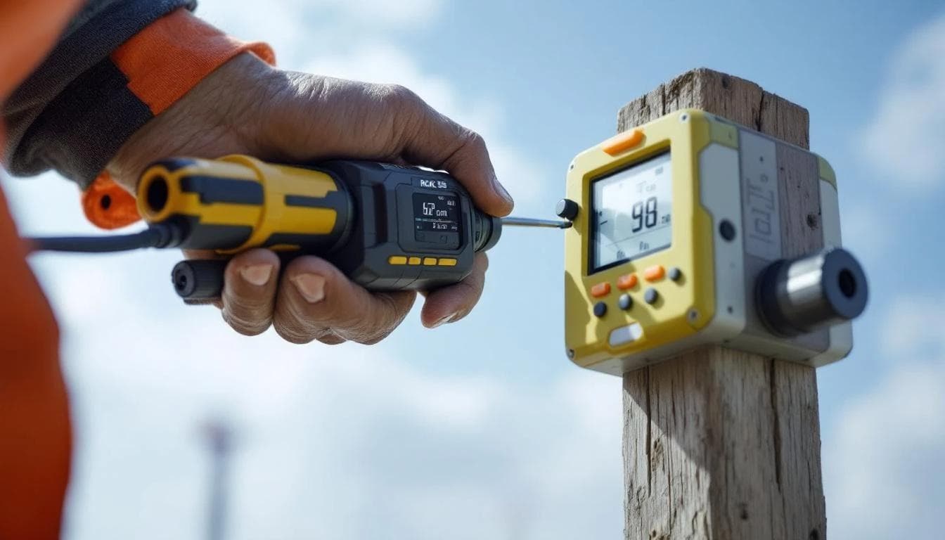
Drone LiDAR Accuracy: What Sub-2cm Really Means and How to Verify It
Sub-2cm accuracy is the standard marketing claim for drone LiDAR. Here's what that specification actually means, how to test it rigorously, and the factors that make or break real-world accuracy.
June 5, 2026

Drone Survey Data That Actually Works in Civil 3D (Without the Headaches)
Raw drone survey data and Civil 3D don't get along. Massive point clouds, CRS mismatches, unclassified noise, and dumb decimation create hours of rework. Here's what your drone surveyor should be delivering — and what to demand if they're not.
April 6, 2026

LiDAR vs. Photogrammetry: Which One Your Project Actually Needs
An honest, practical comparison of drone LiDAR and photogrammetry — when each technology wins, what they really cost, and how to pick the right one for your project type.
April 1, 2026
The Real Cost of Drone Surveys in 2026: Honest Pricing for Every Project Type
No more 'contact us for a quote.' We break down actual drone survey pricing — from /acre basic mapping to ,500/day LiDAR — so you can budget before you ever pick up the phone.
March 28, 2026
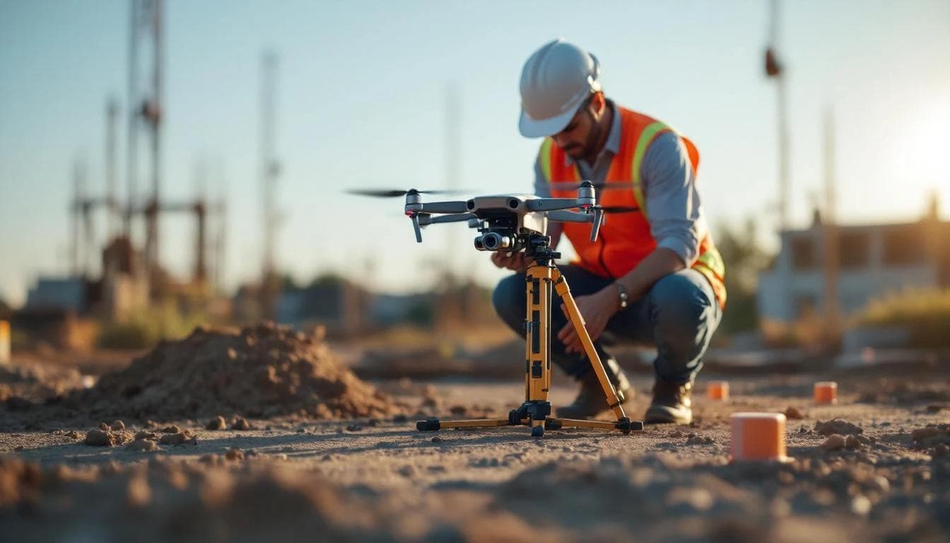
What to Expect When You Hire a Drone Surveyor: A Buyer's Guide
Most drone survey content is written for operators, not buyers. This guide covers what to ask, what to watch for, what good deliverables look like, and how to avoid paying for data you can't use.
March 26, 2026

12 Questions to Ask a Drone LiDAR Survey Provider
Not all drone survey companies deliver the same quality. Use these 12 questions to evaluate LiDAR providers on accuracy, methodology, deliverables, and value before signing a contract.
March 4, 2026
LiDAR vs Photogrammetry vs Survey: Which Method Do You Need?
Comparing the four main terrain data sources for water management projects across accuracy, cost, speed, vegetation penetration, and best-use scenarios. Includes a decision matrix to help you choose.
February 4, 2026