LiDAR for Land Development: Avoid Costly Drainage Surprises
January 28, 2026
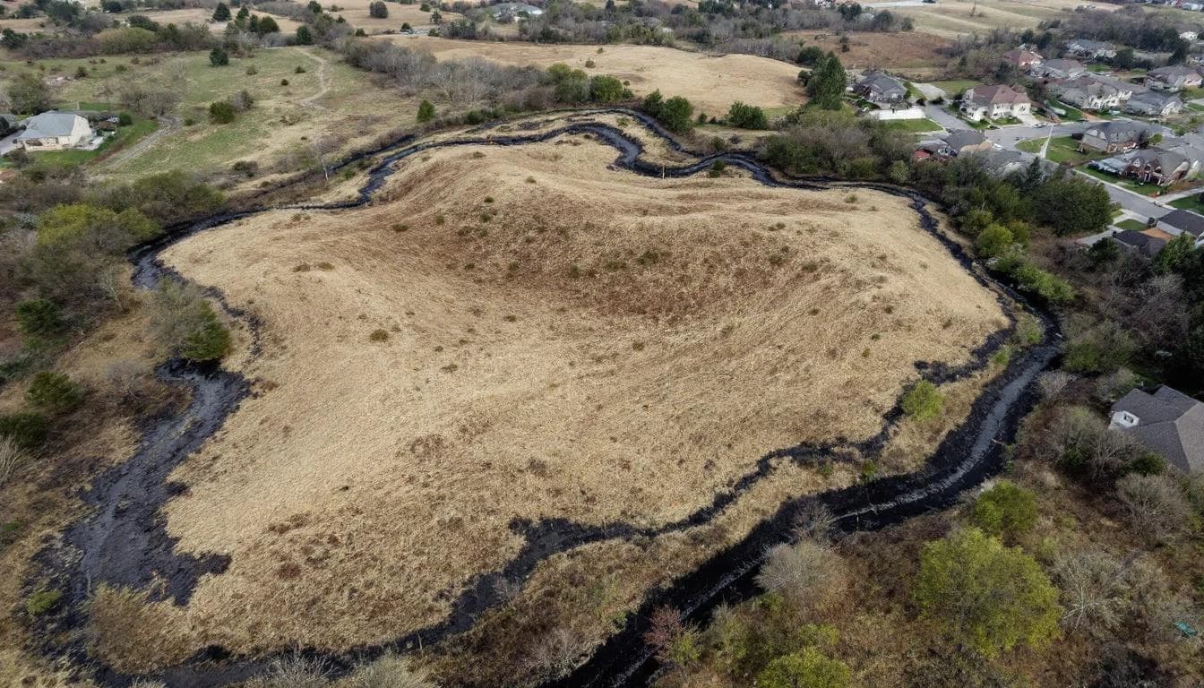
In land development, the most expensive problems are the ones you discover after you've committed. A site that looked buildable during due diligence reveals a drainage pattern that requires $500,000 in unplanned grading. A stormwater management plan designed from old topo data fails to meet permit requirements, delaying the project by months. A finished lot in a new subdivision floods during the first significant storm because the actual terrain didn't match the contour map the civil engineer relied on.
These are not edge cases. Drainage-related surprises are among the most common and costly issues in land development. And they are almost entirely preventable with the right data collected at the right time.
The Due Diligence Gap
Standard due diligence for a land acquisition or development project includes environmental assessments, zoning analysis, utility availability, and geotechnical investigation. Yet the Urban Land Institute has noted that drainage and grading costs are among the most frequently underestimated line items in development pro formas. Terrain analysis is often limited to reviewing existing topographic maps — which may be years or decades old — or commissioning a traditional survey that captures elevation at widely spaced points.
This creates a gap. The developer knows the legal, environmental, and infrastructure context of the site. What they often don't know, with precision, is how water behaves on and around it.
For a flat or gently sloping site, this gap might not matter. But for sites with any topographic complexity, any proximity to drainage features, or any history of water issues, the gap between what legacy terrain data shows and what the actual surface does during a storm can translate directly to seven-figure cost overruns.
What LiDAR Reveals Before You Break Ground
A drone LiDAR scan of a development site, conducted during the due diligence phase, provides a complete picture of terrain conditions at sub-5 cm vertical accuracy. This data reveals:
True drainage patterns. Existing topo maps show the general lay of the land. LiDAR shows exactly where water flows, concentrates, and exits the property during storm events. For sites where off-site drainage crosses the property, this is critical information for stormwater design.
Flood risk beyond FEMA maps. FEMA flood zones are regulatory boundaries based on regional hydrology, not site-specific terrain analysis. LiDAR-based flood simulation can reveal localized flood risk areas that fall outside FEMA zones but will absolutely cause problems for structures or infrastructure placed there.
Grading requirements. With a centimeter-resolution surface model, cut/fill calculations can be run against any proposed grading plan before construction begins. This quantifies earthwork volumes accurately enough to price construction bids, not just estimate them.
Stormwater detention sizing. Stormwater regulations — guided by the EPA's National Pollutant Discharge Elimination System (NPDES) — require new development to manage post-construction runoff, typically through detention or retention facilities. Accurately sizing these facilities requires accurate knowledge of the contributing drainage area and pre-development terrain — exactly what LiDAR provides.
Wetland and sensitive area identification. Low-lying areas that hold water seasonally may indicate jurisdictional wetlands under the Clean Water Act. LiDAR-derived terrain analysis identifies these areas before a survey crew steps in them, allowing the development plan to avoid regulatory complications.
Case Scenarios
Residential subdivision on rolling terrain. A developer under contract for 80 acres of rolling terrain commissioned a LiDAR scan during due diligence. The scan revealed that the proposed access road alignment crossed a natural drainage concentration point that would require a culvert significantly larger than the preliminary engineering assumed. Additionally, 12 of the proposed 40 lots were in areas where post-construction drainage would require individual lot grading to prevent water from flowing toward foundations. These findings were incorporated into revised engineering before construction began — avoiding what would have been costly mid-construction redesign and lot-by-lot remediation.
Commercial site adjacent to existing development. A commercial developer evaluating a 15-acre parcel adjacent to an established neighborhood used LiDAR to map the terrain across both the development parcel and the surrounding 50 acres. The analysis showed that the existing neighborhood's drainage — including yard runoff, driveway flow, and a poorly functioning roadside swale — concentrated on a corner of the development site that the stormwater plan hadn't accounted for. This upstream drainage contribution increased the required detention volume by 35 percent. Discovering this before permitting prevented a failed stormwater plan submission and the associated timeline delay.
Rural land for agricultural development. An agricultural investor evaluating 500 acres for irrigated crop production commissioned a LiDAR scan to assess drainage and irrigation feasibility. The scan identified 60 acres of land with slopes too variable for cost-effective laser leveling, 40 acres in natural depressions that would require drain tile before cultivation, and an optimal alignment for the main irrigation canal that saved an estimated $80,000 in earthwork compared to the alignment proposed from the original contour map.
When to Scan
The optimal time for a development-focused LiDAR scan is during the due diligence or pre-design phase — before engineering commitments are made, before construction pricing is locked, and before permits are submitted.
At this stage, the data informs decisions rather than confirming them. If the terrain reveals conditions that change the project economics — more grading than expected, larger stormwater facilities needed, lots that need to be reconfigured — those adjustments are made on paper, not in the field.
Scanning later in the process — during design or, worse, during construction — still provides value but limits the ability to optimize the plan. The earlier you know what the terrain actually looks like, the more fully you can design around it.
The Cost Calculation
A drone LiDAR scan for a development site typically costs $3,000 to $15,000 depending on acreage and terrain complexity. For a development project with total improvement costs of $1M to $10M+, this represents 0.1 to 1 percent of the project budget.
The cost of a drainage surprise discovered during construction routinely ranges from $50,000 for a culvert redesign to $500,000+ for a major stormwater system revision. Regulatory delays from a failed stormwater permit add months to the project timeline at carrying costs that dwarf the cost of the scan.
The math is straightforward: a small upfront investment in accurate terrain data eliminates a category of risk that has historically cost developers significant time and money.
What You Receive
A development-focused LiDAR deliverable package typically includes:
This package gives your civil engineer a precise starting point for design — not an approximation from old maps, but a current, centimeter-accurate representation of the site as it exists today.
The Competitive Advantage
In a competitive land market, the developer who knows the terrain best makes the best deal. When you can price a site accurately — including the drainage and grading costs that other bidders are estimating from inadequate data — you can bid with confidence rather than contingencies.
Developers who routinely commission pre-acquisition terrain scans report that the data has changed their pricing on 20 to 30 percent of sites they evaluate — sometimes favorably (less grading needed than assumed) and sometimes cautioning against acquisition (hidden drainage costs that would erode margins).
In either case, the decision is better informed. And in development, informed decisions are profitable decisions.