Compliance
Which drone can fly your project?
Since December 2025, federal money can't pay for flights on Chinese-made drones, and several states bar them for public agencies. We confirm the funding source before we quote, then deploy equipment that fits it, so your data is never rejected for how it was collected.
Reviewed October 17, 2026 · Research, not legal advice
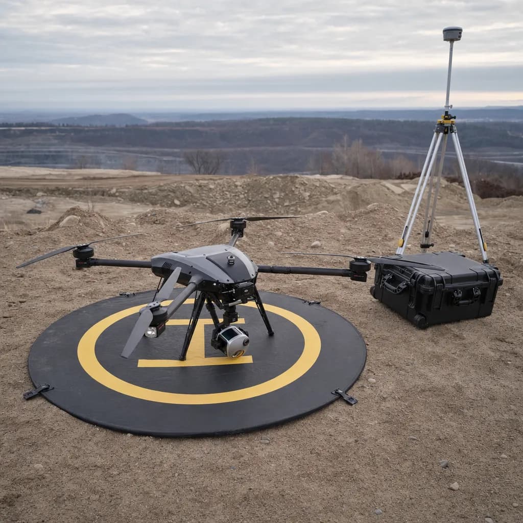
Illustrative image
01Start here
The short answer
Follow the money first, then the agency's state. Accuracy decides the kit only once funding allows it.
| Your project | What can fly | Why |
|---|---|---|
| Private client, any state | Any kit, chosen for accuracy | Unless the owner's contract says otherwise |
| City, county or district work on local money (CA, GA and most states) | Any kit, chosen for accuracy | Read the solicitation's drone language first |
| Any project with federal money in it | NDAA-compliant kit only | FEMA, USACE, FHWA, EPA funds, federal grants and federal land |
| Florida or Nevada public agency | NDAA-compliant kit only | State law, even on state or local money |
| Utah critical infrastructure or Arkansas DOT consultant work | NDAA-compliant kit only | Reaches contractors directly |
See the equipment guide for the kit we recommend in each case, and public sector work for how we fit agency procurement.
02Federal
Federal rules
Effective Dec 22, 2025
American Security Drone Act ↗
FY2024 NDAA secs. 1821-1832; FAR 52.240-1
Federal agencies may not buy or operate drones from covered foreign entities, including DJI and Autel, and federal contract, grant and cooperative-agreement money may not pay to operate them.
Reaches contractors? Yes. It reaches contractors and grant subrecipients, so FEMA, USACE, FHWA federal-aid and EPA revolving-fund projects run by cities and counties are covered too.
Effective Dec 22, 2025
FCC Covered List ↗
FY2025 NDAA sec. 1709
No new FCC equipment authorizations for DJI, Autel and other listed foreign-made drones, so no new models.
Reaches contractors? Not a use ban. Drones already authorized can keep flying.
The Drone Act's restrictions are scheduled to sunset in late 2028 unless Congress extends them. A DJI sensor such as the Zenmuse L2 is covered too, so compliance means a US-made LiDAR on a compliant airframe, not just a different aircraft.
03States
State rules on Chinese-made drones
Most state bans bind agencies, but a few reach contractors directly and more do it through RFP clauses.
| State | Rule | Reaches contractors? | Effective |
|---|---|---|---|
| California | No state ban on Chinese-made drones found | Private and purely local work is open; read each RFP's drone clause | n/a |
| Georgia | No ban found; a bill has been reported but not confirmed as law | Local and private work is open; read each RFP's drone clause | n/a |
| Florida | Fla. Stat. 934.50(7), Rule 60GG-2.0075: agencies may use only approved manufacturers | Not stated in the rule; treat state-funded contracts as covered | Jan 1, 2023 |
| Nevada | SB 11: public agencies may not buy or operate drones from listed entities, including DJI | Not stated; expect it in RFP terms | Jan 1, 2025 |
| Utah | SB 135: no covered foreign drones for critical-infrastructure inspection | Yes, for contractors working directly for a public entity | Reported Jan 1, 2025 |
| Arkansas | Act 525 of 2023: public entities phase out covered foreign drones | Yes, through ArDOT consultant agreements | Phase-out by May 1, 2027 |
| Mississippi | Miss. Code 31-7-67: state and local agencies may not buy or operate PRC-made drones | No | Jan 1, 2025 |
| Tennessee | SB 0776: agencies may not buy from NDAA-banned makers | No | 2023 |
Bills have been reported in Texas, Georgia and North Carolina but not confirmed as law as of October 17, 2026. No ban turning up in a state is not the same as confirmed clear.
04Licensing
Who has to sign a drone map
Flying and capturing data needs an FAA Part 107 certificate. Turning it into elevations or contours a client relies on is regulated mapping.
California
The surveying board says flight planning, piloting and capturing photography are not regulated, but producing a map of elevations or contours is. That work must be done by, or under the responsible charge of, a licensed land surveyor or a licensed civil engineer. Boundary work is reserved to land surveyors.
Georgia
Georgia's surveying rules include aerial and LiDAR topographic mapping, and only a licensed land surveyor can sign it. A civil engineer's license does not cover it.
Georgia Board rule 180-7-.04
How we handle it
For surveyors and engineers, we capture and process under your responsible charge and you sign. For owners and agencies who need a stamped topo, a licensed partner takes responsible charge. We don't call unsigned work a survey.
05Data
Data handling for sensitive sites
Our flight-planning agents can run on local models, and mission files, raw data and processing can stay offline. Nothing has to touch a manufacturer's cloud. Tell us your agency's data rules during scoping.