Public sector
Drone LiDAR that fits public procurement.
We work for agencies and on their consultants' teams: we match equipment to the funding source, deliver under a licensed surveyor's sign-off, and bring the registrations, insurance and paperwork your solicitation asks for.
Reviewed October 17, 2026 · California · Metro Atlanta · South Florida · Research, not legal advice
Illustrative image
01How agencies buy
Where we fit in the procurement
Public surveying and mapping is bought on qualifications, mostly through multi-year on-call lists. The fastest way to add drone LiDAR is a subconsultant already on your prime's team.
We work for cities, counties, water and sanitation districts, state DOTs and federal land agencies, and for the firms that hold their on-call contracts. We join as the drone LiDAR and photogrammetry subconsultant, or act as prime on scopes that need no stamp, such as canopy mapping and stockpile volumes.
On-call benches
Counties, cities, flood control and water districts rank statements of qualifications and approve a few firms for three to five years. Work then arrives as task orders without a new bid. We join a licensed prime's team as the UAS LiDAR subconsultant, so the agency adds drone capacity without adding a contract.
Qualifications-based selection
Surveying and mapping are bought on qualifications first and price second: the Brooks Act and SF 330 for federal work (FAR 36.6), Gov. Code 4525-4529.5 in California, and the CCNA (Fla. Stat. 287.055) in Florida. We supply the UAS section of the SOQ: approach, equipment, QA and resumes.
Small purchases
Federal buys up to the $15,000 micro-purchase threshold need no competition, and buys up to the $350,000 simplified acquisition threshold are set aside for small business by default (FAR 2.101, 19.502-2). Local limits vary by agency, so we check yours before scoping.
Teaming with your prime
Most federal and DOT surveying is awarded to licensed primes. We sign teaming agreements, take flow-down clauses, and work under the prime's quality plan and schedule.
02Readiness
What the solicitation asks for, and how we handle it
| Item | What agencies ask | How we handle it |
|---|---|---|
| Federal registration | A SAM.gov entity record and UEI. Primes need a full registration; subcontractors need at least a UEI. | We register before award, under NAICS 541370 (surveying and mapping) with 541360 and 541990, so it never holds up the team. |
| Vendor portals | Registration on the portal the agency uses: Cal eProcure, PlanetBids, OpenGov, BidNet, RAMP, BuyNet, the Georgia Procurement Registry or MyFloridaMarketPlace. | We register on each solicitation's portal so we receive addenda and can be listed on your team. |
| Small business | SBA size standards for set-asides and subcontracting goals. | We are a small business under the SBA size standard for NAICS 541370 (13 CFR 121.201). |
| Prevailing wage (California) | Field survey work on a public works project is covered (8 CCR 16001; Labor Code 1720). DIR registration is required on projects over $25,000 (Labor Code 1725.5). | We register with DIR before field work on a covered project and pay prevailing rates. |
| Insurance | General and professional liability at the limits in the RFQ, with the agency named as additional insured. | We carry $2M aviation liability and issue certificates naming your agency. We confirm every limit against the RFQ before we commit. |
| Out-of-state work | Foreign LLC registration and, in most states, a licensed surveyor in responsible charge. | We register with the Secretary of State and work under a licensed local surveyor. |
03Licensing
Who signs the deliverable, by state
Flying needs an FAA Part 107 certificate. Mapping that a public client relies on needs a licensee in responsible charge, and we never call unsigned work a survey.
California
A licensed land surveyor or civil engineer
The board treats flying and capture as unregulated, but elevations and contours a client relies on as regulated mapping. Boundary work is reserved to land surveyors.
Georgia
A licensed land surveyor only
Aerial and LiDAR topographic mapping is surveying, and a civil engineer's license doesn't cover it. GDOT has dedicated prequalification classes for UAS aerial photography (5.04) and UAS LiDAR (5.06).
Board rule 180-7-.04
Florida
A licensed surveyor and mapper (PSM) at a firm with a certificate of authorization
Photogrammetry falls under Chapter 472. An unlicensed contractor may work under a PSM firm's supervision, which is how we team.
Fla. Stat. 472.005, 472.003(5)(d), 472.021
Other states
Usually a licensed land surveyor
Nearly every state treats drone mapping deliverables as surveying. A few Western states also let an engineer sign; no Southeast state does.
State surveying boards
04Federal money and Florida
NDAA-compliant equipment when the rules require it
We confirm the funding source before we quote and choose the kit to match.
Federal contracts and federally funded projects
Since December 22, 2025, the American Security Drone Act bars federal money from paying to operate drones from covered foreign makers, and FAR 52.240-1 puts that in the contract. It flows down to city and county projects funded by FEMA, FHWA, USACE or EPA revolving funds. On those jobs we fly a US-made LiDAR on a Blue UAS airframe, with the manufacturer's written compliance letter in the bid.
Florida public agencies
Florida agencies may use drones only from approved manufacturers (Fla. Stat. 934.50), judged by a country-of-origin and component test (Rule 60GG-2.0075), even on state or local money. We bring a compliant kit to all Florida public work and ask the agency for its written determination before we fly.
Other agency rules
Interior agencies apply their own drone policy (OPM-11 and IB 25-01). Nevada public agencies, Utah critical-infrastructure work and Arkansas DOT consultant work have state rules too. We source equipment per job, so we pick a kit that meets the strictest rule on the contract and confirm its NDAA status in writing before the job.
State-by-state drone bans are in the compliance guide, and the kits we use for each case are in the equipment guide.
05Standards
Accuracy you can put in a staff report
Accuracy reporting
Independent checkpoints and an accuracy report to the ASPRS Positional Accuracy Standards with every delivery.
Point density
Collection planned to match USGS LiDAR Base Specification quality levels, comparable to QL1 or QL2 as the scope requires.
Control and formats
RTK or PPK GNSS control. LAS/LAZ, DEM/DTM, orthomosaic GeoTIFF and CAD or GIS files in your coordinate system.
06For your SOQ
What we hand your team
- Capability statement
- UAS approach and QA narrative for your SOQ or SF 330
- Sample checkpoint accuracy report
- Pilot and processing resumes, with FAA Part 107 certificates
- Insurance certificate naming your agency
- Manufacturer NDAA compliance letter for the kit, when federal or Florida rules apply
07On the job
Safety and data
Every flight has an FAA Part 107 remote pilot in command, airspace authorization (LAANC where available) and a written site safety plan. Flight plans are drafted by our planning agent and reviewed by the pilot. Flight logs, control, checkpoints and the accuracy report are kept with the deliverable. Flight planning can run on local models, and raw data can stay offline and off any manufacturer's cloud when your agency requires it.
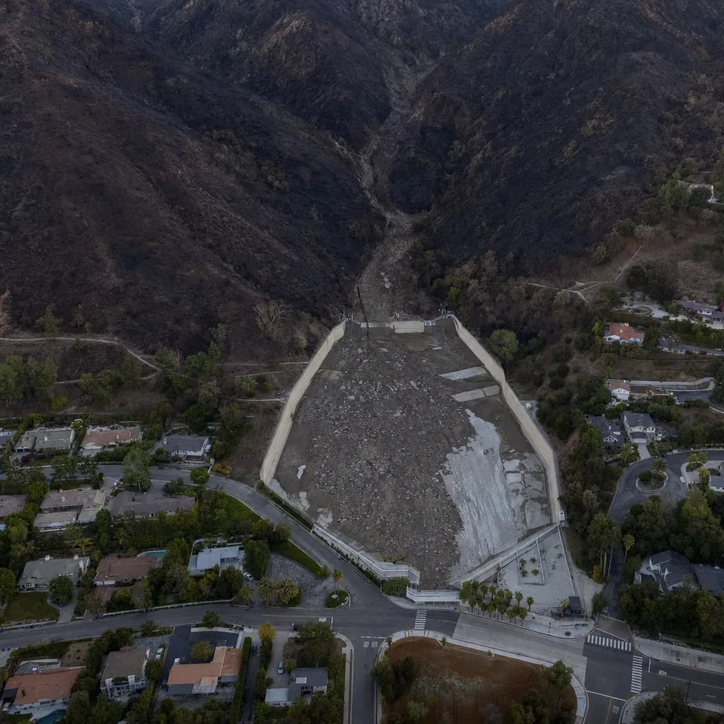
See the work by segment on our industry pages, starting with debris basins and flood control.
Have an RFQ or on-call bench coming up?
Send the solicitation or the bench you're on, or ask for our capability statement. We'll tell you how we fit, which kit the funding allows and what we can add to your submittal.