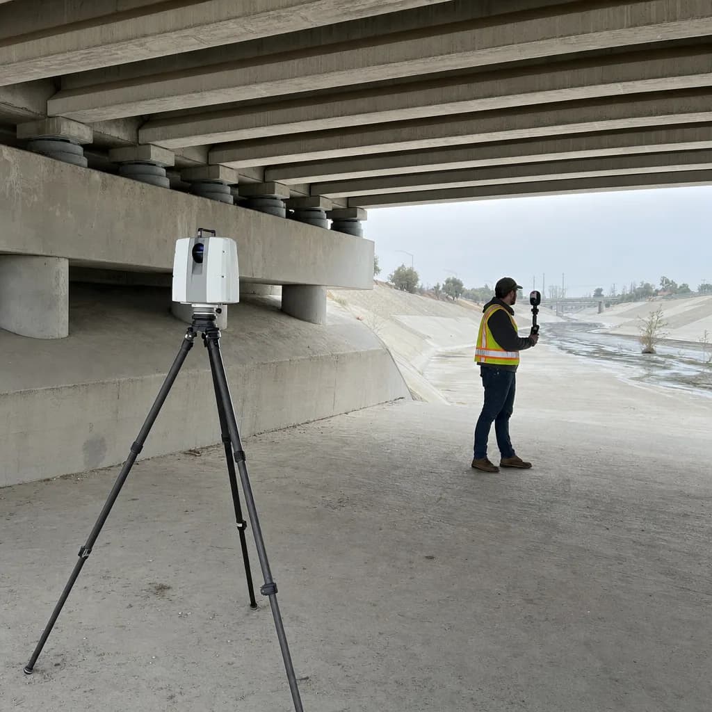
Terrestrial & mobile LiDAR
LiDAR from the ground, where a drone can't see or can't fly.
Tripod, handheld and vehicle-mounted laser scanning for interiors, structures, facades and corridors. We register every scan to control, so it lines up with drone LiDAR and drops into your CAD, BIM or GIS model.
California · Metro Atlanta · South Florida · $2M insured · Equipment sourced per job
Illustrative image
01When to scan from the ground
Six places drone LiDAR falls short
Drone LiDAR is the fastest way to map open ground and terrain under vegetation. These are the jobs where a ground scanner sees more, or is the only option, in any industry.
Indoors and underground
Building interiors, basements, vaults, culverts and tunnels have no sky view. Handheld SLAM and tripod scanners map them and tie back to surface control.
Under structures
Bridge soffits, bearings, abutments and the inside of box culverts are hidden from above. A tripod or handheld scan under the deck fills the gap.
Vertical faces
Facades, retaining walls, quarry highwalls and bluffs. A scanner facing the wall captures detail that a nadir drone pass flattens.
Where drones can't fly
Airspace near airports, temporary flight restrictions, crowds, active plant floors or a site owner who simply won't allow aircraft. Ground scanning needs no FAA authorization.
Long corridors
Miles of road, curb and right of way are faster and safer to capture from a vehicle than on foot or by drone flight after flight.
Detail beyond drone LiDAR
Where the deliverable needs millimeter detail, such as clearances, steel connections or equipment for retrofit design, a tripod scanner is the right tool.
02Methods
Three ways to scan from the ground
We don't run a fixed fleet. For each job we source the scanner class that fits the site, the detail you need and the schedule.
| Terrestrial (tripod) scanning | Handheld and backpack SLAM | Vehicle-mounted mobile mapping | |
|---|---|---|---|
| Example equipment | Leica RTC360, FARO Focus or Trimble X7 class scanners, set up station by station | Emesent Hovermap, NavVis VLX, Leica BLK2GO or FARO Orbis class scanners, carried at walking pace | Leica Pegasus, Trimble MX or RIEGL VMX class systems with GNSS and inertial positioning |
| Best for | Detail and accuracy: building interiors and facades, plant rooms, bridge bearings and soffits, structural as-builts | Speed indoors and underground: culverts, tunnels, multi-floor buildings, stairwells, dense brush on foot | Linear corridors: roads, curbs and ADA ramps, signs and poles, rail, levee crowns and canal banks |
| Accuracy | Millimeter-level range accuracy at short range (manufacturer specs); registration checked against targets and control | Centimeter-level once tied to control; drift checked against targets on every run | Centimeter-level with GNSS, inertial and ground control; confirmed with checkpoints |
| Pace | Slowest per area, densest data | Fast, covers large interiors in a single walk | Fastest for miles of corridor at traffic speed |
Example models show the class of equipment, not hardware we own. Drone kits are compared in the equipment guide.
03Air plus ground
One model, top to bottom
Most sites need both. We fly drone LiDAR for the terrain and roofs, scan the interiors, undersides and faces from the ground, and register everything to the same GNSS control. The result is one point cloud of the whole site, which is the basis of a digital twin.
04Public work
Drone bans don't cover a tripod
The American Security Drone Act and Florida's approved-manufacturer rule (Fla. Stat. 934.50) govern drones, not ground scanners. Where those rules narrow the drone options, a ground scan can carry part of the scope. Agencies can have their own data and procurement rules, so we confirm them per contract. Details are in the public sector guide.
05Deliverables
What you get
- Registered point cloud: LAS/LAZ, E57, RCP/RCS for Autodesk tools
- Floor plans, sections and elevations in DXF/DWG
- Terrain surfaces and contours where the scan covers ground
- Panoramic imagery tied to the point cloud
- Corridor features (curb, edge of pavement, poles, signs) for mobile mapping
- Registration and checkpoint QA report
06Sign-off and safety
Who signs, and how we work on site
When a scan's elevations, contours or locations will be relied on for design or permitting, a licensed surveyor signs the deliverable: a PLS in Georgia, a PLS or civil PE in California, a PSM in Florida. We work under that sign-off and never call unsigned work a survey.
On site we follow the owner's safety rules and a written scan plan. Road corridors may need an encroachment permit or traffic control, and confined spaces such as culverts need their own entry procedure; we plan for both during scoping.
Not sure if it needs a drone, a scanner or both?
Send the site, what you need to measure and the software it goes into. We'll recommend a capture method and scope it, with fast turnaround.