Equipment
The right sensor for the job, not the one we happen to own.
We don't run a fixed fleet. For each job we source the drone and LiDAR that the funding rules, the accuracy target and the vegetation call for, then plan the flight with our AI planning agents and fly it with an FAA Part 107 pilot in command.
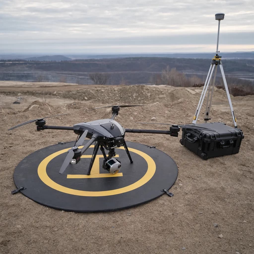
Illustrative image
01Recommendations
Three LiDAR kits, three kinds of job
| Mapping-grade LiDAR on a DJI platform | Survey-grade LiDAR | NDAA-compliant LiDAR kit | |
|---|---|---|---|
| Example equipment | DJI Matrice 350 or 400 RTK with Zenmuse L2, plus a GNSS base station | RIEGL-based or high-end US-made sensors such as GeoCue TrueView 660 or Phoenix RANGER | US-made LiDAR (Phoenix Recon XT or miniRANGER) on a Blue UAS airframe such as the Freefly Astro |
| Best for | Private and local-government jobs: landfill capacity, stockpiles, basin volumes, open or lightly vegetated topo | Dense brush and canopy, steep slopes, repeat slope monitoring, and topo that a surveyor will stamp | Federally funded projects (FEMA, USACE, FHWA, EPA revolving funds), federal land, and Florida or Nevada public agencies |
| Accuracy | About 4-5 cm vertical on open ground (manufacturer spec); confirmed per job with checkpoints | Tighter vertical accuracy and better ground under vegetation; confirmed per job with checkpoints | Mapping to survey grade depending on the sensor |
| Compliance | Allowed on private and purely state or local money. Not allowed on federally funded work, or for Florida and Nevada public agencies | US-made sensors; NDAA status confirmed per model before quoting federal work | Meets the American Security Drone Act and state bans on Chinese-made drones; documentation provided with the bid |
| Agent-led flight | Flight plan written by our planning agent and loaded by the pilot; processed offline | Agent-planned missions; aircraft depends on the sensor mount | Open autopilot (PX4): the planning agent uploads and monitors the mission while the pilot supervises |
For orthomosaics, construction progress and open-ground stockpiles, photogrammetry on an RTK drone is often enough and costs less. We agree the control, checkpoint requirements and reporting before capture. Site accuracy is evaluated against the agreed checks; manufacturer specifications help select the kit.
02By industry
What we usually recommend
Landfills
Mapping-grade LiDAR on a DJI platform
Landfill enterprise funds are local money, so DJI-based kits are usually allowed. We confirm against your contract before flying.
Surveyors & Civil Engineers
Survey-grade LiDAR
We match the kit to the job's funding: DJI for private and local work, US-made LiDAR when federal money or a state rule requires it.
Debris Basins & Flood Control
Mapping-grade LiDAR on a DJI platform
Routine district and city maintenance is usually local money. FEMA-funded post-fire work bars DJI aircraft, so we deploy US-made LiDAR or a compliant partner for it.
Mines & Aggregates
Mapping-grade LiDAR on a DJI platform
Private operators pay with private money, so any kit is open. We pick by accuracy and site size.
Landslide & Slope Monitoring
Survey-grade LiDAR
City- and owner-funded monitoring is open to any kit. Federally funded mitigation requires US-made equipment, which we can deploy.
03Federal and state rules
Funding decides first
A DJI kit can't fly on federally funded work, or for Florida and Nevada public agencies. We confirm the funding source before quoting and bring the NDAA-compliant kit when it's required.