Mines & Aggregates
Tons in every pile and acres disturbed, measured instead of estimated.
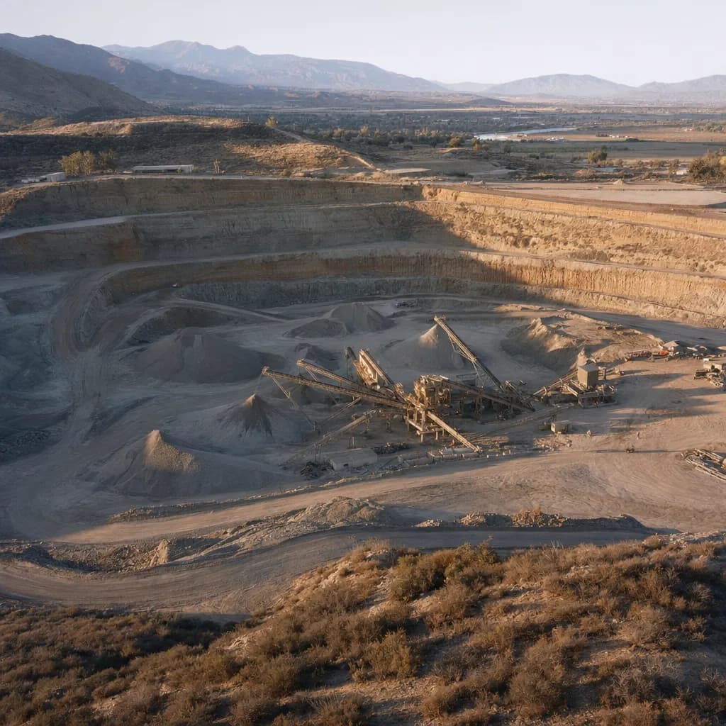
California's SMARA annual report and financial assurance both depend on how much ground is disturbed. We map pit walls, benches, stockpiles and disturbed acreage with LiDAR, so the number you report and bond against is measured rather than estimated.
For quarry and pit operators, reclamation consultants and plant managers · California · Metro Atlanta · South Florida
Illustrative sample
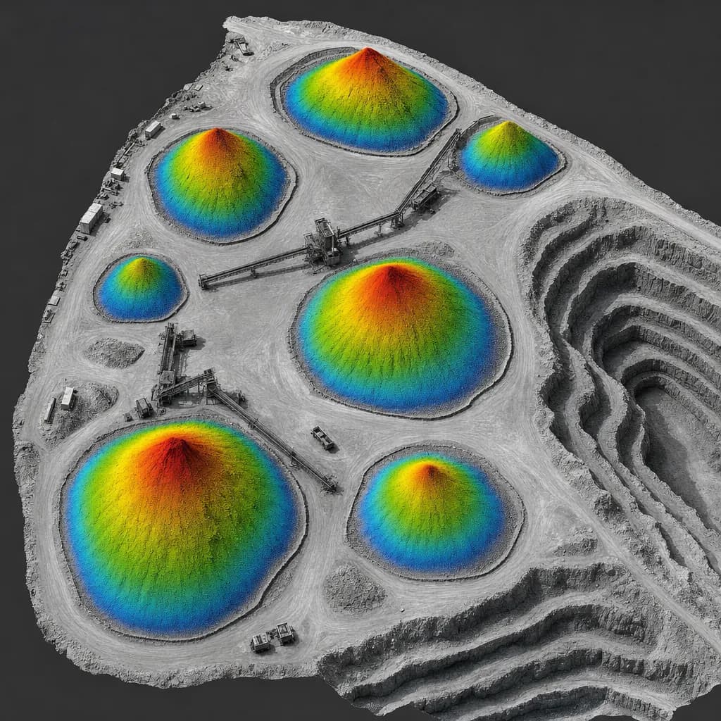
Stockpile surfaces with toe lines, colored by height for volume tables
Checkpoint report with every job
- Checkpoints
- 30
- RMSEz
- 3.4 cm
- Mean error
- +0.6 cm
Sample image and numbers are illustrative, not from a Twinn project.
Illustrative image
01Get a quote
Tell us the site and the deadline
Share the location, what you need to file and when it's due. We'll confirm the kit, the sign-off and the schedule.
02When you need it
What starts the job
- SMARA annual reports due July 1
- Financial assurance updates and state penalty notices
- Year-end stockpile inventory that has to tie out to accounting
- Scale tickets and loadout that disagree on a stockpile
- Reclamation plan amendments and expansion permits
03What you get
Deliverables
- Disturbed-acreage map with boundary linework
- Stockpile volumes with documented base modeling, on a fast turnaround
- Pit wall and bench surfaces, contours and sections
- Checkpoint accuracy report
Already flying your own drone?
Plenty of pits fly their own drone for stockpiles. We're the independent check when the scale and the survey disagree, the year-end number for the auditor or lender, and the disturbed-acreage map under vegetation on reclaimed slopes.
Already have a consultant?
Most annual reports go through a SMARA consultant or the surveyor of record. We fly and process for them, and they keep the filing.
04Before we fly
Sign-off, funding and equipment
Who signs it
Maps filed with the state are signed by your licensed surveyor, engineer or geologist of record. We provide the data and processing under them.
Funding rules
Private operators pay with private money, so any kit is open. We pick by accuracy and site size.
Drone compliance guide →Public sector work →Typical kit: Mapping-grade LiDAR on a DJI platform
DJI Matrice 350 or 400 RTK with Zenmuse L2, plus a GNSS base station. We source equipment per job, so the kit changes when your accuracy or contract calls for it.
Equipment guide →05Proof of accuracy
Sample checkpoint report
Every job ships with a report like this. We check the surface against independently surveyed points and report the error to ASPRS Positional Accuracy Standards, Edition 2 (2024). The numbers below are an illustrative sample for this kit, not a Twinn project.
Want the full deliverable? Get the year-end stockpile inventory statement sample. Or try the stockpile inventory tool.
Try it in 3D: stockpile inventory in 3d.
- Accuracy class
- 5-cm vertical accuracy class
- Checkpoints (open ground)
- 30
- RMSEz, open ground
- 3.4 cm
- Mean error
- +0.6 cm
- Vegetated (VVA)
- 6.1 cm (20 checkpoints in brush)
| Point | Cover | Surveyed Z (m) | LiDAR Z (m) | ΔZ (cm) |
|---|---|---|---|---|
| CP-01 | Gravel road | 412.318 | 412.342 | +2.4 |
| CP-02 | Bare soil | 418.905 | 418.871 | -3.4 |
| CP-03 | Compacted fill | 431.227 | 431.259 | +3.2 |
| CP-04 | Bare soil | 426.540 | 426.517 | -2.3 |
| CP-05 | Asphalt | 409.112 | 409.148 | +3.6 |
| CP-06 | Gravel pad | 437.861 | 437.832 | -2.9 |
First 6 of 30 checkpoints shown. Illustrative sample.
06Where we work
California, Metro Atlanta and South Florida
California
We fly sand, gravel and hard-rock operations across Southern California's inland valleys and travel to Central Valley and Northern California sites.
Metro Atlanta
Georgia is a major crushed-stone and kaolin producer. Surface mines permitted under the Georgia Surface Mining Act carry the same reclamation and bonding questions.
South Florida
We serve Miami-Dade, Broward and Palm Beach counties. Florida public agencies may only use drones from approved manufacturers, so county and city work there gets an NDAA-compliant kit. Florida mapping deliverables are signed by a licensed Florida surveyor and mapper (PSM).
Background reading
SMARA annual report instructions ↗What the report asks for: disturbed acreage, production, the reclamation cost estimate and a map.
Tell us the site and the deadline.
Share the location, what you need to file and when it's due. We'll confirm the kit, the sign-off and the schedule.