Geotech and slopes · Sample report
Is that slope moving? Get a movement check you can act on.
Name one slope. We'll compare two flights and show you what moved.
“right now we're trying to survey it about every six weeks”
“the the highest points that we have um do not look like they're they're moving significantly they're right on the edge of of sort of the error range of the survey”
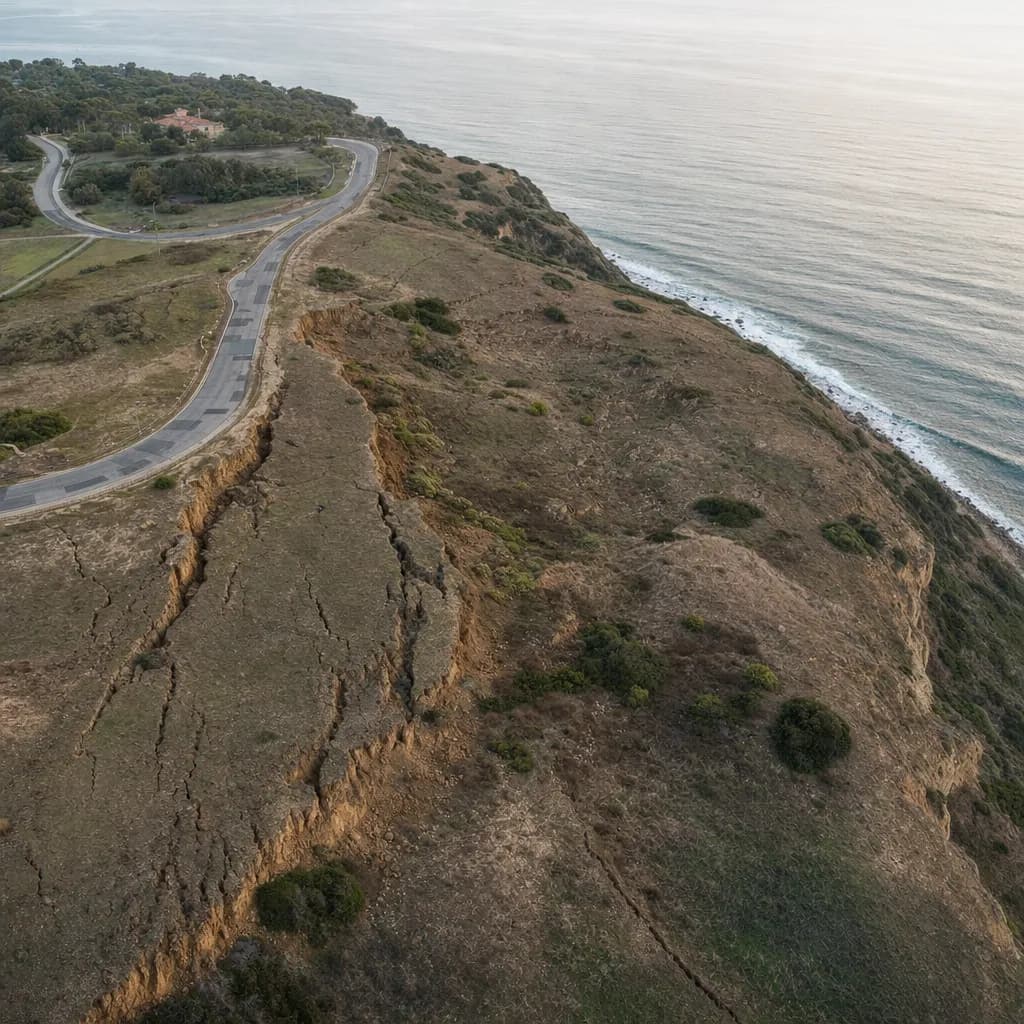
Illustrative image
01The problem
Point monitoring is slow, and small movement hides inside survey error. What you need is a clear alert with its error margin.
02What you get
- 01A one-slope movement check. Send two flights of the same hillside, or we'll scope one repeat flight.
- 02You get a heat map of movement, the area moving more than a set threshold (5 cm by default), median and maximum movement in that zone, and a draft alert email for the geologist.
03How close the tool gets
On the test site, the moving area came within 0.8% of the known answer, with a mean point error of 0.8 cm and no false alarms on stable ground.
Checked on test sites where the true answer was known. Not a promise for your site.
04When you need more
Scheduled repeat flights with an alert email after each one, plus bare-earth maps through vegetation for the consultant's report. Stamped deliverables go through the geotechnical firm's PE or a PLS partner.
- This is a screening result, not a stability analysis.
- Movement in centimeters assumes motion parallel to the slope, so pure vertical settlement is mis-scaled.
- The maximum value is noisy. Quote the median.
- Dense vegetation hides movement unless ground points are well classified.
Get it
The Slope Movement Report and alert email
Tell us where to send it. The link opens on the next page and arrives by email too. Ask for the free check at the same time and we'll reply to scope it.
Sample site (synthetic data). Fictitious site and coordinates.
Checked on test sites where the true answer was known. Not a promise for your site.
Prepared by Twinn Digital, for review and seal by a licensed PLS/PE where required.
Federal or other restricted project requirements? Compliant LiDAR is available on request. Tell us how the project is funded.