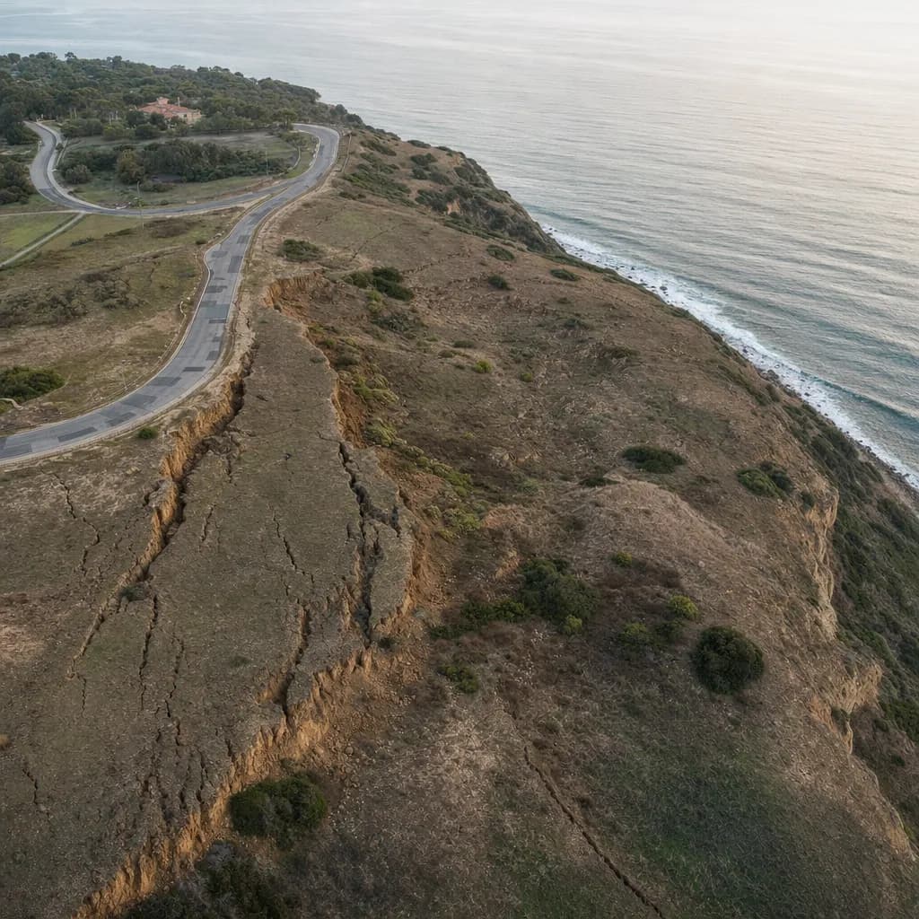
Landslide & Slope Monitoring
Is the slope moving more than your survey error? See the whole slope, under the brush.
GPS monuments tell you how a few points moved, and slow movement can sit inside the survey's error range. Repeat drone LiDAR measures the whole slope: scarps, fissures and displaced volume, even under brush. AI-planned flights repeat the same path every epoch, so each change map compares like with like.
For geotechnical consultants, engineering geologists and hillside or coastal cities · California · Metro Atlanta · South Florida
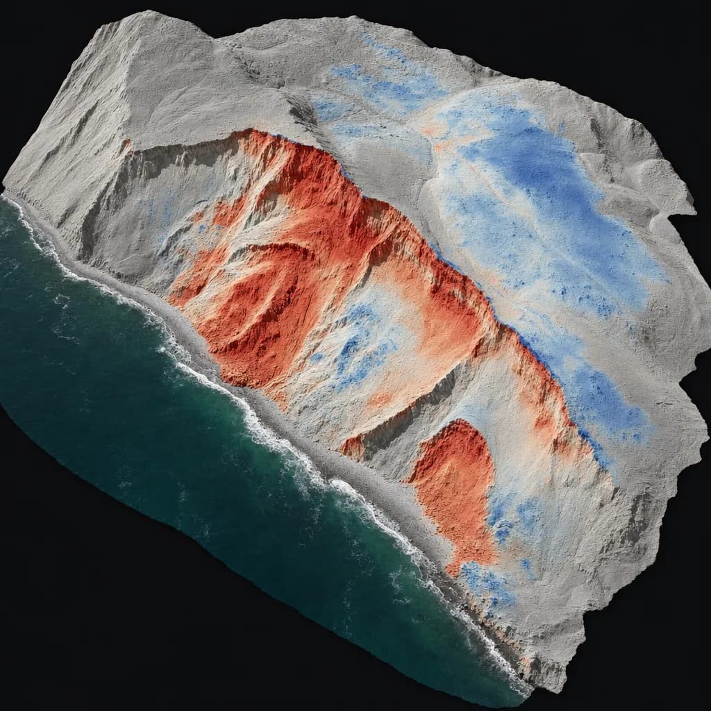
Illustrative sample
Change between two LiDAR epochs across the whole slope
Checkpoint report with every job
- Checkpoints
- 30
- RMSEz
- 2.1 cm
- Mean error
- -0.3 cm
Sample image and numbers are illustrative, not from a Twinn project.
Illustrative image
01Get a quote
Tell us the site and the deadline
Share the location, what you need to file and when it's due. We'll confirm the kit, the sign-off and the schedule.
02When you need it
What starts the job
- Wet winters and active landslide complexes
- Coastal bluff failures and emergency declarations
- Debris-flow risk on slopes above homes after a fire
- Baselines before grading or remediation work
03What you get
Deliverables
- Baseline LiDAR surface, then monthly or post-storm epochs
- DEM of difference and displacement maps per epoch
- Movement per zone with the error margin stated, so real movement stands apart from noise
- GeoTIFF and LAS files for each flight
- A short change memo for the geologist of record
Already flying your own drone?
Photogrammetry sees the top of the brush. LiDAR ground returns show the slope surface itself, and every epoch comes with checkpoint statistics, so the movement map states its own error margin.
Already have a consultant?
We work for the geotechnical firm or engineering geologist of record. They interpret and sign; we deliver the measured change.
04Before we fly
Sign-off, funding and equipment
Who signs it
Interpretation stays with your certified engineering geologist or geotechnical engineer. We deliver the measured change.
Funding rules
City- and owner-funded monitoring is open to any kit. Federally funded mitigation requires US-made equipment, which we can deploy.
Drone compliance guide →Public sector work →Typical kit: Survey-grade LiDAR
RIEGL-based or high-end US-made sensors such as GeoCue TrueView 660 or Phoenix RANGER. We source equipment per job, so the kit changes when your accuracy or contract calls for it.
Equipment guide →05Proof of accuracy
Sample checkpoint report
Every job ships with a report like this. We check the surface against independently surveyed points and report the error to ASPRS Positional Accuracy Standards, Edition 2 (2024). The numbers below are an illustrative sample for this kit, not a Twinn project.
Want the full deliverable? Get the slope movement report and alert email sample.
Try it in 3D: slope movement monitor.
See how the data is collected: watch a 3D simulation of the survey flight.
- Accuracy class
- 2.5-cm vertical accuracy class
- Checkpoints (open ground)
- 30
- RMSEz, open ground
- 2.1 cm
- Mean error
- -0.3 cm
- Vegetated (VVA)
- 3.8 cm (20 checkpoints in brush)
| Point | Cover | Surveyed Z (m) | LiDAR Z (m) | ΔZ (cm) |
|---|---|---|---|---|
| CP-01 | Dirt road | 512.604 | 512.619 | +1.5 |
| CP-02 | Bare soil | 518.233 | 518.214 | -1.9 |
| CP-03 | Grass | 524.871 | 524.896 | +2.5 |
| CP-04 | Bare rock | 531.095 | 531.081 | -1.4 |
| CP-05 | Bare soil | 527.442 | 527.459 | +1.7 |
| CP-06 | Asphalt | 509.318 | 509.296 | -2.2 |
First 6 of 30 checkpoints shown. Illustrative sample.
06Where we work
California, Metro Atlanta and South Florida
California
We focus on the Palos Verdes Peninsula, coastal bluffs from Malibu to San Diego, and hillside communities across Southern California.
Metro Atlanta
Around Atlanta, the same repeat surveys track cut slopes, stream banks and fill embankments on development and road projects.
South Florida
We serve Miami-Dade, Broward and Palm Beach counties. Florida public agencies may only use drones from approved manufacturers, so county and city work there gets an NDAA-compliant kit. Florida mapping deliverables are signed by a licensed Florida surveyor and mapper (PSM).
Background reading
Eos on the Rancho Palos Verdes landslides ↗Why point monuments alone leave gaps across a moving slope.
Tell us the site and the deadline.
Share the location, what you need to file and when it's due. We'll confirm the kit, the sign-off and the schedule.