Surveyors and engineers · Flight simulation
What a drone LiDAR topo survey looks like
A simulated flight over the Stroubles Creek stream corridor in Blacksburg, Virginia. The terrain around it is real, and the points that fill in are the published drone LiDAR survey of the corridor.
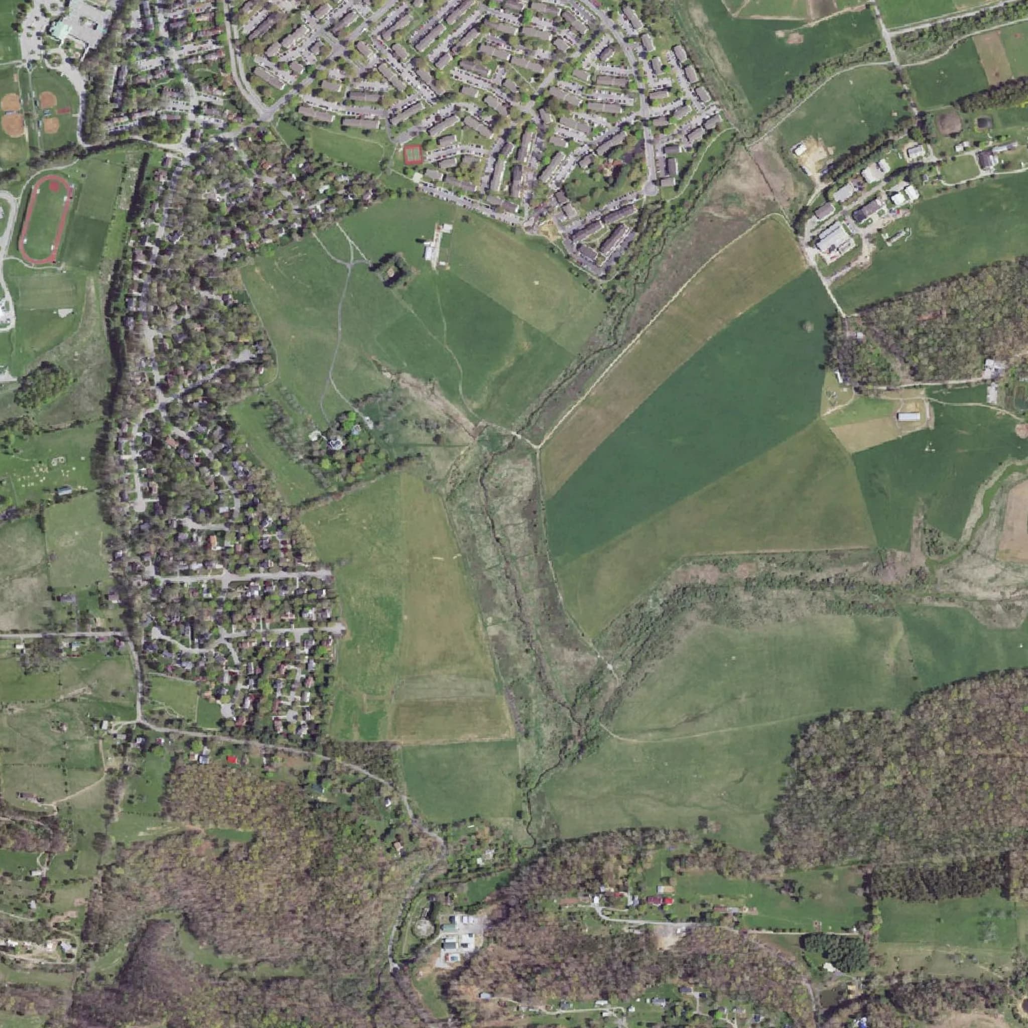
Interactive 3D · about 8 MB download
Simulation. The flight path is generated for this page and the drone is a generic model shown larger than life. The points are a published drone lidar survey by Virginia Tech, replayed along the simulated path; they are not Twinn Digital project data. Sources
What you're watching
How a drone LiDAR survey is flown
Lasers reach the ground between the leaves, so the bare-earth surface continues under the canopy. That surface becomes the existing-ground model and contours your design starts from.
The flight is planned by software
Our AI agents lay the flight lines over a terrain model of the site, set the height above ground and the spacing between lines, and check the airspace. A licensed Part 107 remote pilot reviews the plan and is in command for the whole flight.
The drone follows the terrain
The aircraft holds a set height above the ground, climbing over ridges and dropping into low ground, so the laser footprint and point density stay even across the site.
Lines overlap side to side
Each pass sweeps a swath of ground with the laser. The next line overlaps it, so slopes facing away from one pass are seen from the other and gaps fill in.
The point cloud builds as it flies
Hundreds of thousands of laser pulses per second each return a 3D point. Back at the office the passes are aligned, checked against ground control and turned into the surfaces and numbers you file.
Then put the same data to work: 3d lidar measure and export.
Want this flight over your site?
We rent the aircraft and sensor each job calls for, plan the flight with our AI agents, and fly it with a Part 107 pilot in command. Fast turnaround on the deliverables.
Credit
Sources
Point cloud: Hession, W., Lehmann, L., Resop, J., and Kobayashi, Y. (2026). Virginia Tech StREAM Lab Summer 2024 Drone Lidar Survey. Virginia Tech. https://doi.org/10.5069/G9J67F57 · License: CC BY 4.0
Imagery: USGS The National Map (public domain).
Terrain: AWS Terrain Tiles (Mapzen), from USGS 3DEP, SRTM and other open sources.
The point cloud is a random sample of 1million points from the published survey. The terrain around it is a lower-resolution elevation model shifted to match the survey's elevations; inside the survey area it sits just under the points. Twinn Digital is not affiliated with the data publishers.