Survey and civil partners · Sample report
Overflow LiDAR that opens in Civil 3D without cleanup.
Give us your template and a point-cloud crop. We'll hand back files you can drop into Civil 3D.
“our books are closed uh we're not letting anybody in we have more work than we can do”
“yesterday afternoon 4 30 in the afternoon we find out we need design grade topo in the next two or three days”
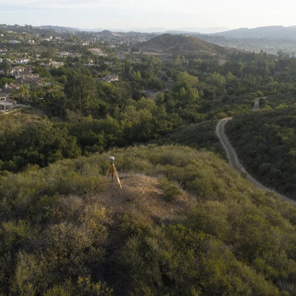
Illustrative image
01The problem
Firms have about a third of the staff they had 30 years ago and are turning work away, while topo requests arrive with two- or three-day deadlines. You keep the stamp and the client. We're the bench.
02What you get
- 01The partner kit run on a crop of your own point cloud (a small area), in your units, coordinate system and layer names.
- 02You get contours (DXF), a LandXML surface, a DEM, spot elevations (CSV) and a QA report with checkpoint statistics.
- 03The sample package to inspect first.
03How close the tool gets
On the test site, the DEM had an RMSE of 1.3 cm against analytic truth, the LandXML passed the official schema, and 23 to 24 automated file checks passed per sample run. Files were checked with the LandXML schema, ezdxf and rasterio; opening them in Civil 3D itself hasn't been tested yet.
Checked on test sites where the true answer was known. Not a promise for your site.
04When you need more
Overflow flights and processing under your firm's responsible charge. The PLS keeps the stamp and the client.
- Heights are scaled, not re-datumed, and the datum label is text only. You confirm datum and geoid.
- The accuracy statement needs surveyed checkpoints. The sample statement wording is a draft to check against each contract.
- A PLS or PE of record seals everything delivered as topo or existing conditions.
Get it
The Partner kit QA report
Tell us where to send it. The link opens on the next page and arrives by email too. Ask for the free check at the same time and we'll reply to scope it.
Sample site (synthetic data). Fictitious site and coordinates.
Checked on test sites where the true answer was known. Not a promise for your site.
Prepared by Twinn Digital, for review and seal by a licensed PLS/PE where required.
Federal, Florida or other restricted work? NDAA-compliant LiDAR is available on request. Tell us how the project is funded.