Category
Infrastructure & Utilities
Asset inspection, corridor mapping, stormwater systems, flood modeling, and infrastructure condition assessment.
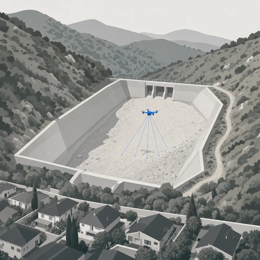
Back to empty before December: what drone LiDAR measured in the Eaton Fire debris basins
Back to empty before December: Caltech's drone LiDAR found 13 Eaton Fire debris basins 18-59% full after one storm. What that means for cleanout triggers.
November 4, 2026
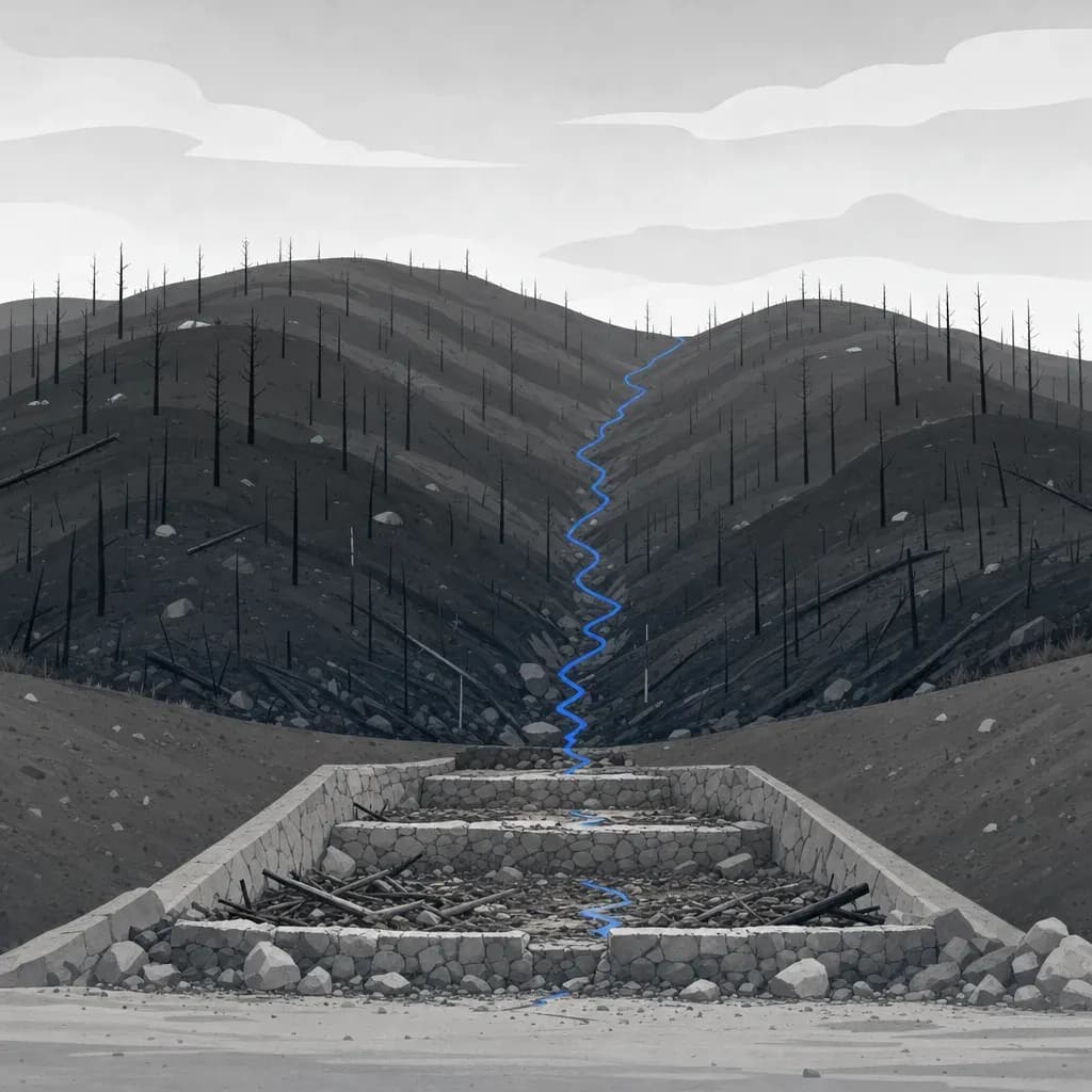
After the burn: using USGS debris-flow estimates to pick which basins to survey first
After a fire, rank basins by USGS modeled debris-flow volume, then survey the top of the list before storms. Worked example with the Eaton Fire data.
October 30, 2026
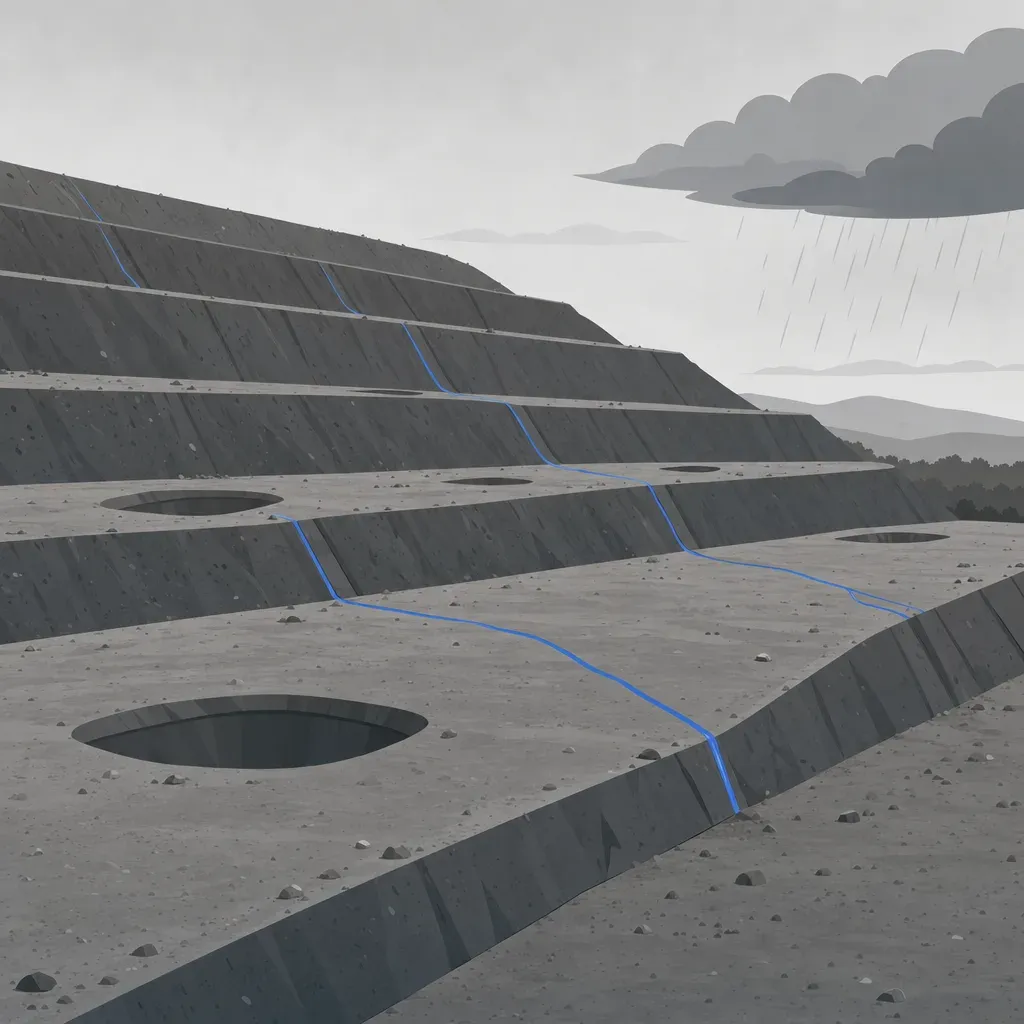
Before the first storm: what a 1 m terrain model shows about landfill slopes and drainage
A pre-winter slope and drainage check from free 1 m lidar, worked on Olinda Alpha: slope classes, flow paths, ponding pits and a re-flight baseline.
October 28, 2026
NDAA-Compliant Drones for Survey Work: Rules and How to Check
What NDAA-compliant means for drones and payloads, which public survey jobs require it, and how to check a vendor's aircraft before you sign.
October 18, 2026

Federal Funding and Drones: ASDA and FCC Covered List Rules
Which drones you can use on federally funded surveys: the American Security Drone Act, the FCC Covered List, state rules, and what to put in your scope.
October 18, 2026
Outdated FEMA Flood Maps: What a Lidar DEM Can and Can't Fix
How FEMA uses terrain in a LOMR, CLOMR and Risk MAP study, what a lidar DEM changes in the model, and what 3DEP already covers in SoCal and Metro Atlanta.
March 18, 2026