Insights & Resources
Blog
Expert perspectives on drone surveying, LiDAR, and terrain intelligence — written for the people who plan, design, and build.
NDAA-compliant drones for public survey work: what it means, when it's required, and how to check
A buyer's guide for agencies and consultants: what NDAA-compliant means, which survey jobs require it, and how to check a vendor's aircraft and payload.
October 18, 2026

Federal money and drones: what the American Security Drone Act and the FCC Covered List mean for agency surveys
Which drones you can use on federally funded surveys: the American Security Drone Act, the FCC Covered List, state rules, and what to put in your scope.
October 18, 2026
Drone LiDAR Accuracy: What a 2 cm RMSE Spec Really Means and How to Verify It
Accuracy claims are easy to make. Here is what a drone LiDAR accuracy spec actually means, how to verify it against ground control with an RMSE report, and what makes or breaks real-world results.
June 5, 2026

Drone Survey Data That Actually Works in Civil 3D (Without the Headaches)
Raw drone survey data and Civil 3D don't get along. Massive point clouds, CRS mismatches, unclassified noise, and dumb decimation create hours of rework. Here's what your drone surveyor should be delivering — and what to demand if they're not.
April 6, 2026

LiDAR vs. Photogrammetry: Which One Your Project Actually Needs
An honest, practical comparison of drone LiDAR and photogrammetry — when each technology wins, what drives the cost, and how to pick the right one for your project type.
April 1, 2026
What drives the cost of a drone survey, and how to write an RFQ that gets comparable quotes
The real cost drivers of a drone survey, from vegetation and accuracy spec to licensed review and airspace, plus an RFQ checklist so quotes compare.
March 28, 2026
What to Expect When You Hire a Drone Surveyor: A Buyer's Guide
Most drone survey content is written for operators, not buyers. This guide covers what to ask, what to watch for, what good deliverables look like, and how to avoid paying for data you can't use.
March 26, 2026
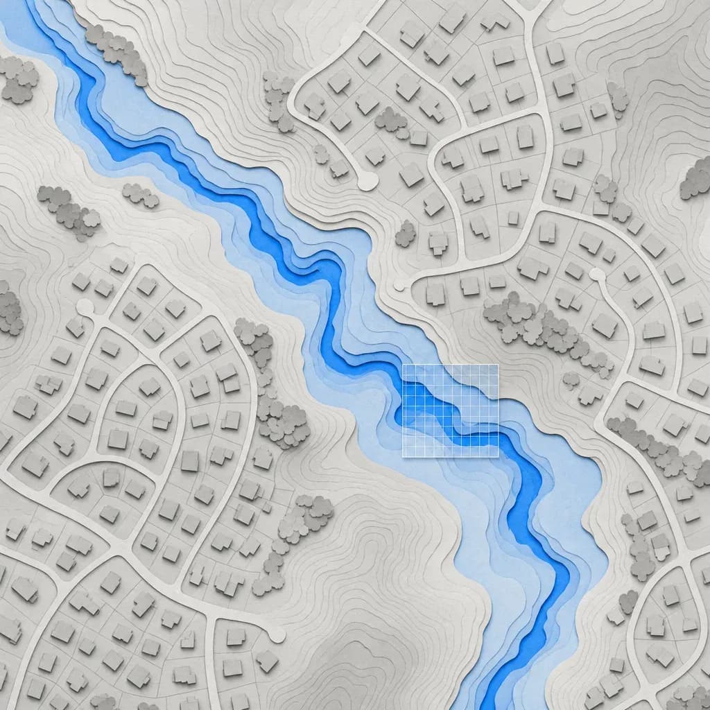
Outdated FEMA Flood Maps: What a Lidar DEM Can and Can't Fix
How FEMA uses terrain in a LOMR, CLOMR and Risk MAP study, what a lidar DEM changes in the model, and what 3DEP already covers in SoCal and Metro Atlanta.
March 18, 2026

Drone LiDAR for Watershed Development: The Complete Guide
Everything watershed professionals need to know about drone LiDAR: how it works, what data products it generates, accuracy specifications, what drives cost, and how to integrate it into GIS-based hydrological workflows.
March 11, 2026
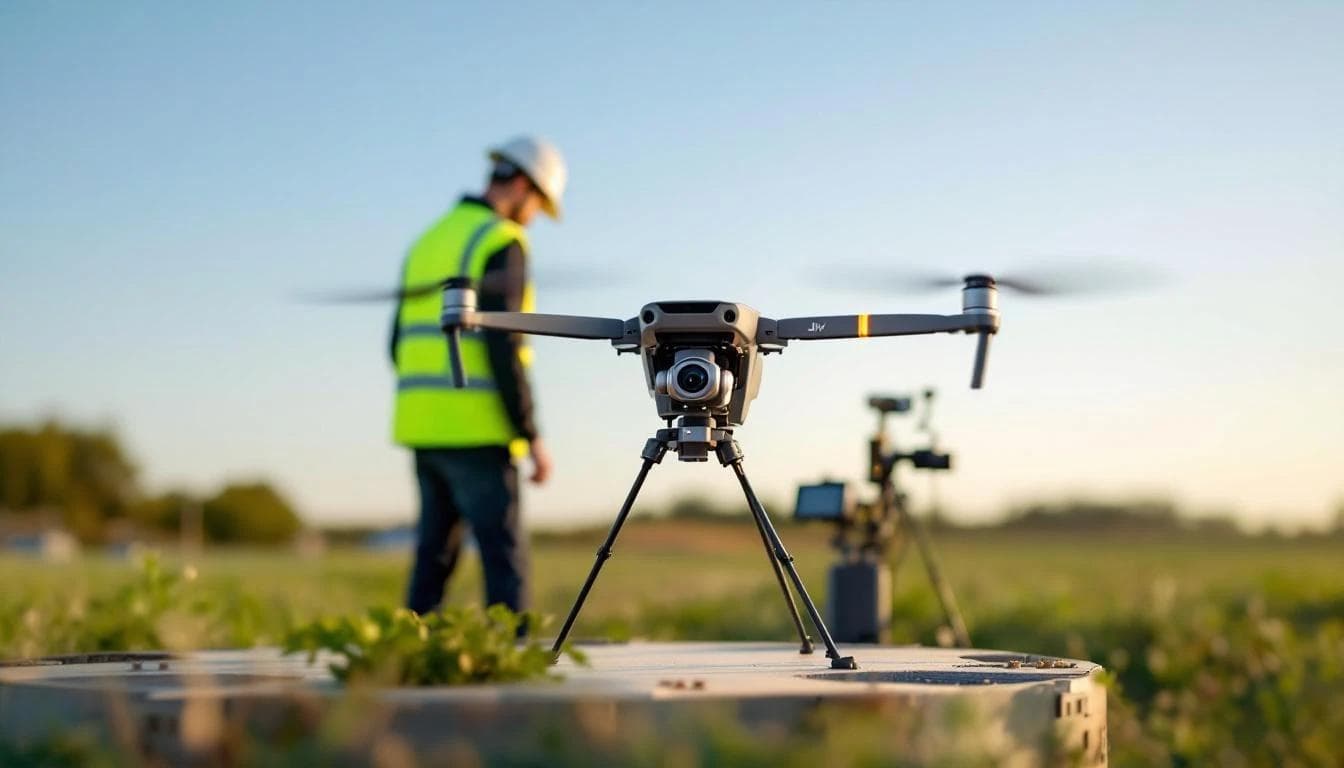
12 Questions to Ask a Drone LiDAR Survey Provider
Not all drone survey companies deliver the same quality. Use these 12 questions to evaluate LiDAR providers on accuracy, methodology, deliverables, and value before signing a contract.
March 4, 2026
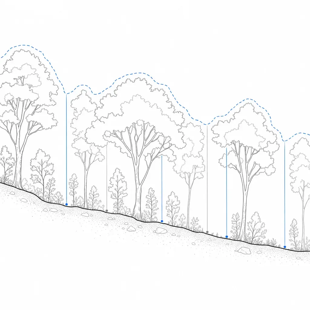
LiDAR vs Photogrammetry vs Traditional Survey: Which Do You Need?
Five terrain sources compared on published accuracy, with a decision diagram, scenario picks, and what changes under Atlanta pine and hardwood canopy.
February 4, 2026