Insights & Resources
Blog
Expert perspectives on drone surveying, LiDAR, and terrain intelligence — written for the people who plan, design, and build.
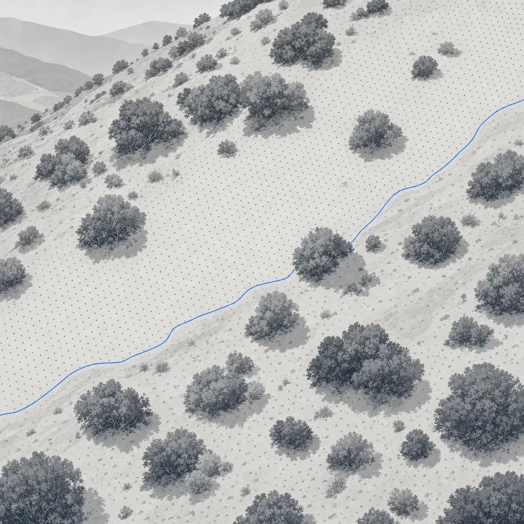
How many points per square meter does your spec really need?
Specs ask for 8, 25 or 400 points per m2. Real USGS and drone data show what density buys on open ground and under brush, and what to write in a scope instead.
November 13, 2026
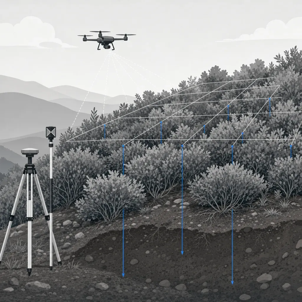
Already fly a Phantom? When DIY drone topo isn't enough
A Phantom and Pix4D are fine for progress photos and rough volumes. Here is where the error budget breaks, and when to add control, LiDAR and a licensee.
November 11, 2026
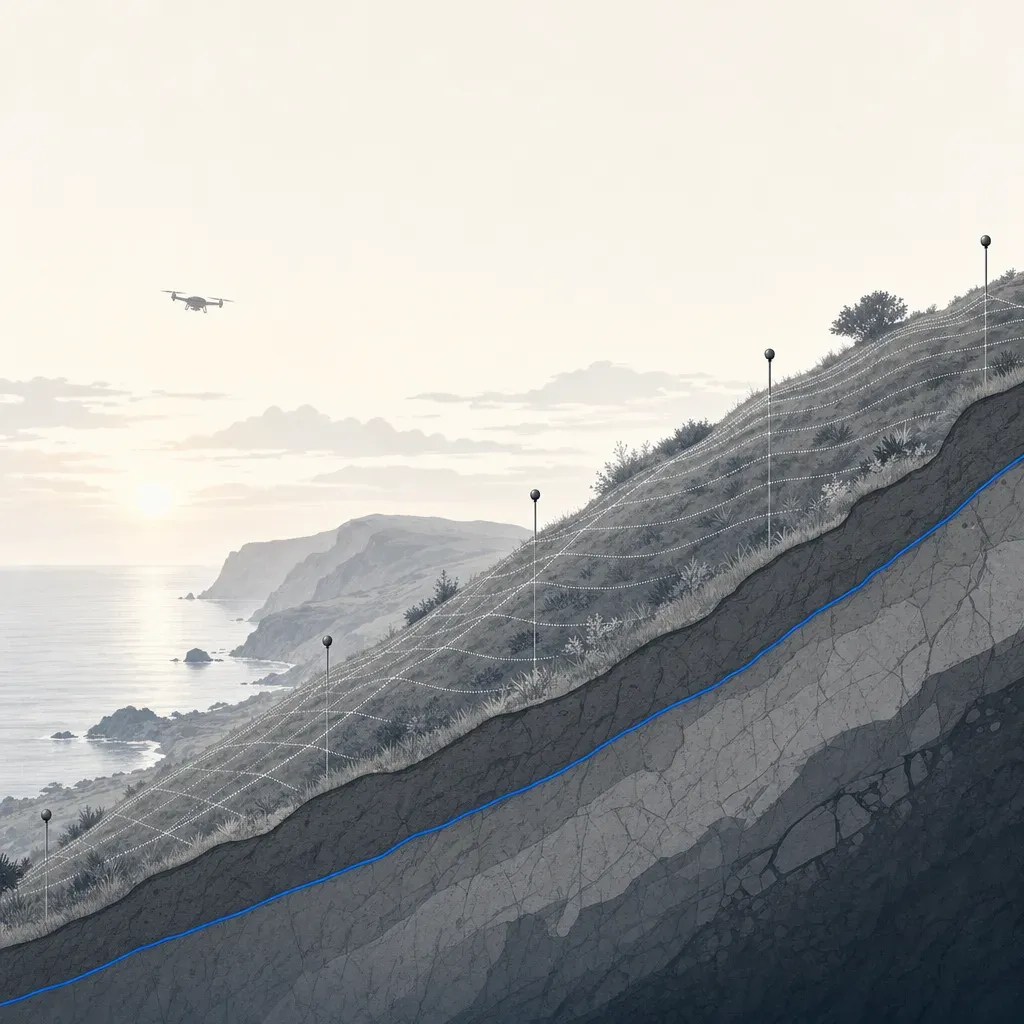
Is your slope moving faster than your survey error?
Rancho Palos Verdes slowed below 1 inch a week. When is movement bigger than survey error, what monuments miss between epochs, and what to ask a surveyor.
November 9, 2026
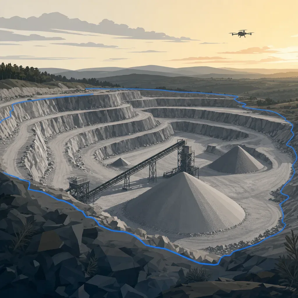
Ten years of rock left? What California's 2026 aggregate report says about SoCal permitted reserves
CGS's 2026 Map Sheet 52 update puts San Bernardino and the San Fernando Valley at 10 or fewer years of permitted aggregate. What it means for pit surveys.
November 6, 2026
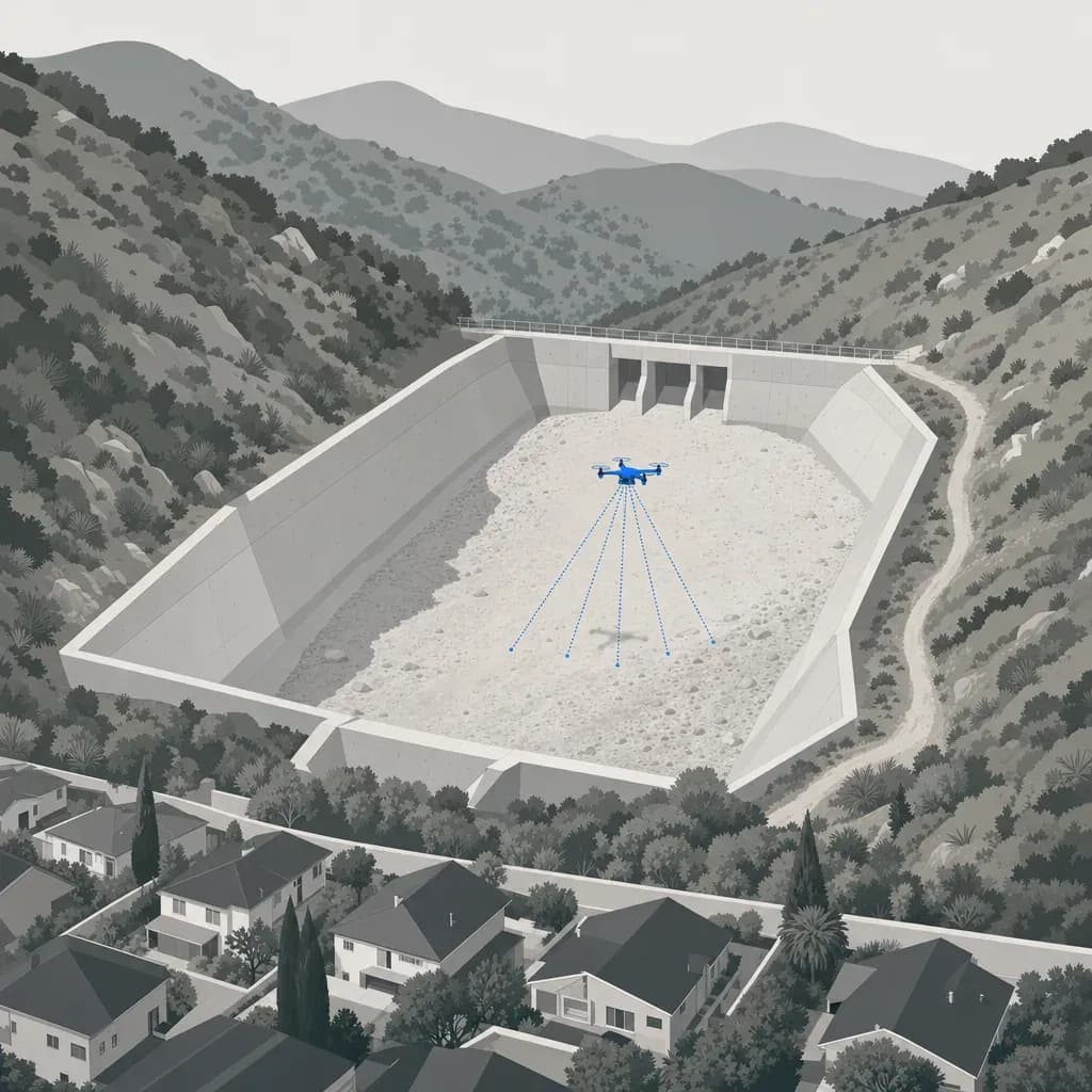
Back to empty before December: what drone LiDAR measured in the Eaton Fire debris basins
Back to empty before December: Caltech's drone LiDAR found 13 Eaton Fire debris basins 18-59% full after one storm. What that means for cleanout triggers.
November 4, 2026
NAD83, State Plane and the geoid: getting the coordinate system right on drone topo in CA, GA and FL
Datum epoch, zone, units, geoid and ground-vs-grid: the coordinate handoff errors on drone topo, with real numbers for Southern California, Atlanta and Miami.
November 2, 2026
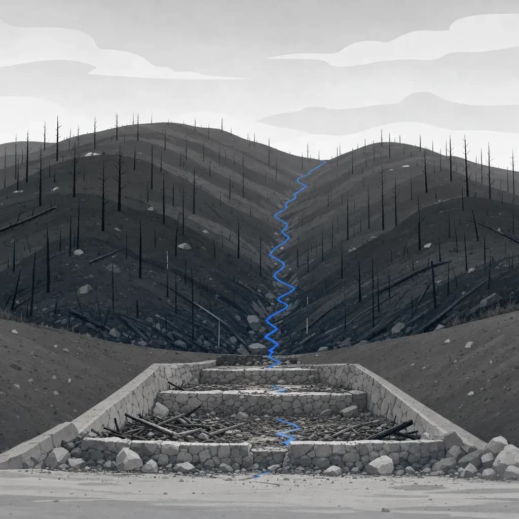
After the burn: using USGS debris-flow estimates to pick which basins to survey first
After a fire, rank basins by USGS modeled debris-flow volume, then survey the top of the list before storms. Worked example with the Eaton Fire data.
October 30, 2026
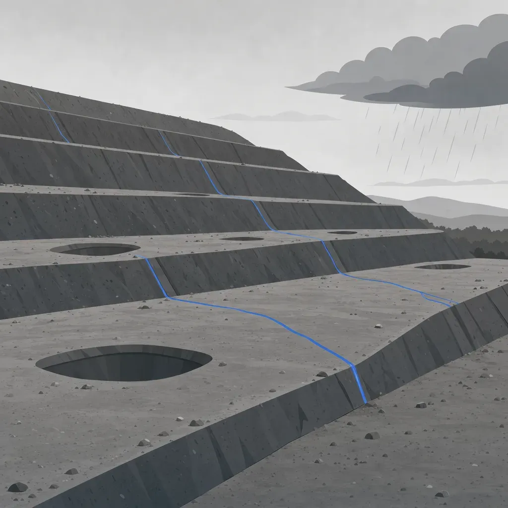
Before the first storm: what a 1 m terrain model shows about landfill slopes and drainage
A pre-winter slope and drainage check from free 1 m lidar, worked on Olinda Alpha: slope classes, flow paths, ponding pits and a re-flight baseline.
October 28, 2026
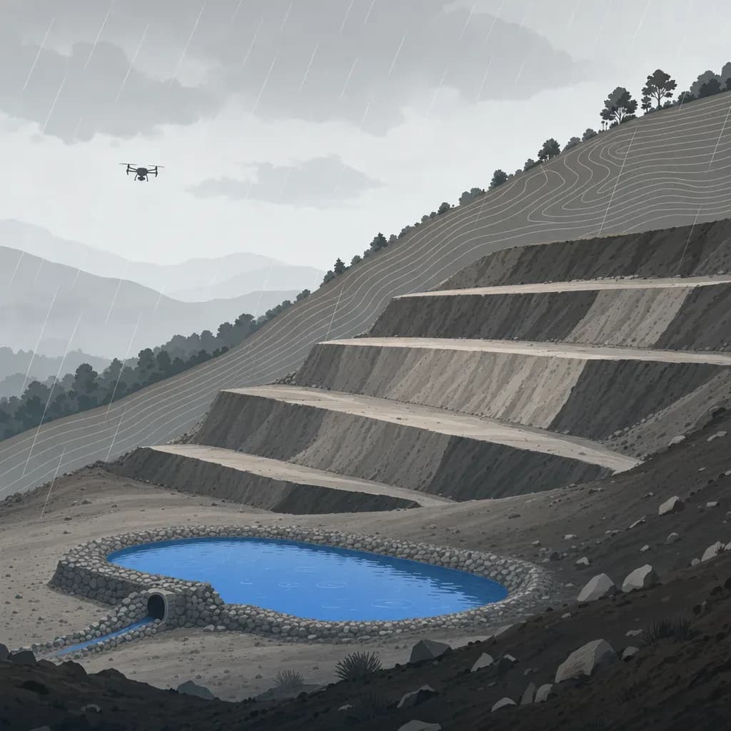
Before and after a qualifying precipitation event: re-surveying sediment basins and erosion controls under California's Construction General Permit
What California's 2022 CGP requires around a qualifying precipitation event, and where before-and-after drone surveys can add numbers to a QSP's inspection.
October 26, 2026
NDAA-Compliant Drones for Survey Work: Rules and How to Check
What NDAA-compliant means for drones and payloads, which public survey jobs require it, and how to check a vendor's aircraft before you sign.
October 18, 2026

Federal Funding and Drones: ASDA and FCC Covered List Rules
Which drones you can use on federally funded surveys: the American Security Drone Act, the FCC Covered List, state rules, and what to put in your scope.
October 18, 2026
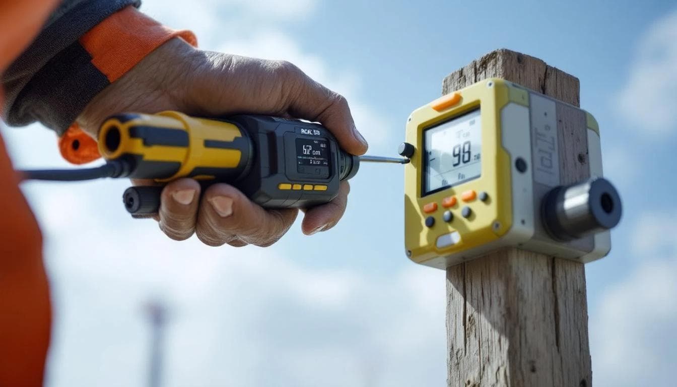
Drone LiDAR Accuracy: What 2 cm RMSE Means and How to Verify It
What a drone LiDAR accuracy spec really means, how to check it against ground control with an RMSE report, and what makes or breaks centimeter-level results.
June 5, 2026

Drone Survey Data in Civil 3D: What a Clean Deliverable Includes
What drone survey data needs to import cleanly into Civil 3D: classified LAS, the right coordinate system, a surface and breaklines. A checklist to send your drone provider.
April 6, 2026
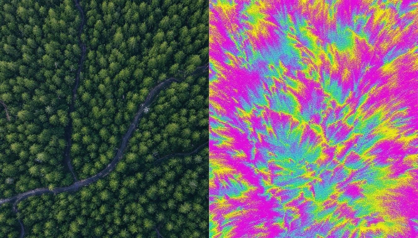
LiDAR vs. Photogrammetry: Which One Your Project Actually Needs
An honest, practical comparison of drone LiDAR and photogrammetry — when each technology wins, what drives the cost, and how to pick the right one for your project type.
April 1, 2026
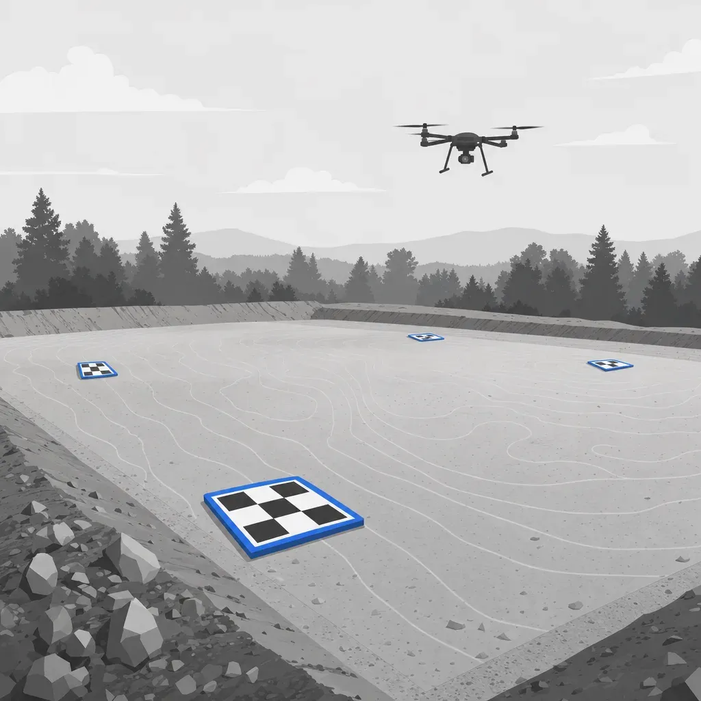
What drives the cost of a drone survey, and how to write an RFQ that gets comparable quotes
The real cost drivers of a drone survey, from vegetation and accuracy spec to licensed review and airspace, plus an RFQ checklist so quotes compare.
March 28, 2026
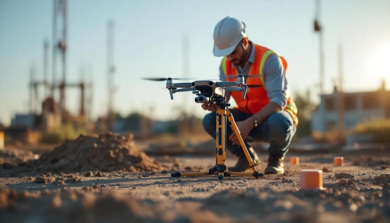
What to Expect When You Hire a Drone Surveyor: A Buyer's Guide
Most drone survey content is written for operators, not buyers. This guide covers what to ask, what to watch for, what good deliverables look like, and how to avoid paying for data you can't use.
March 26, 2026
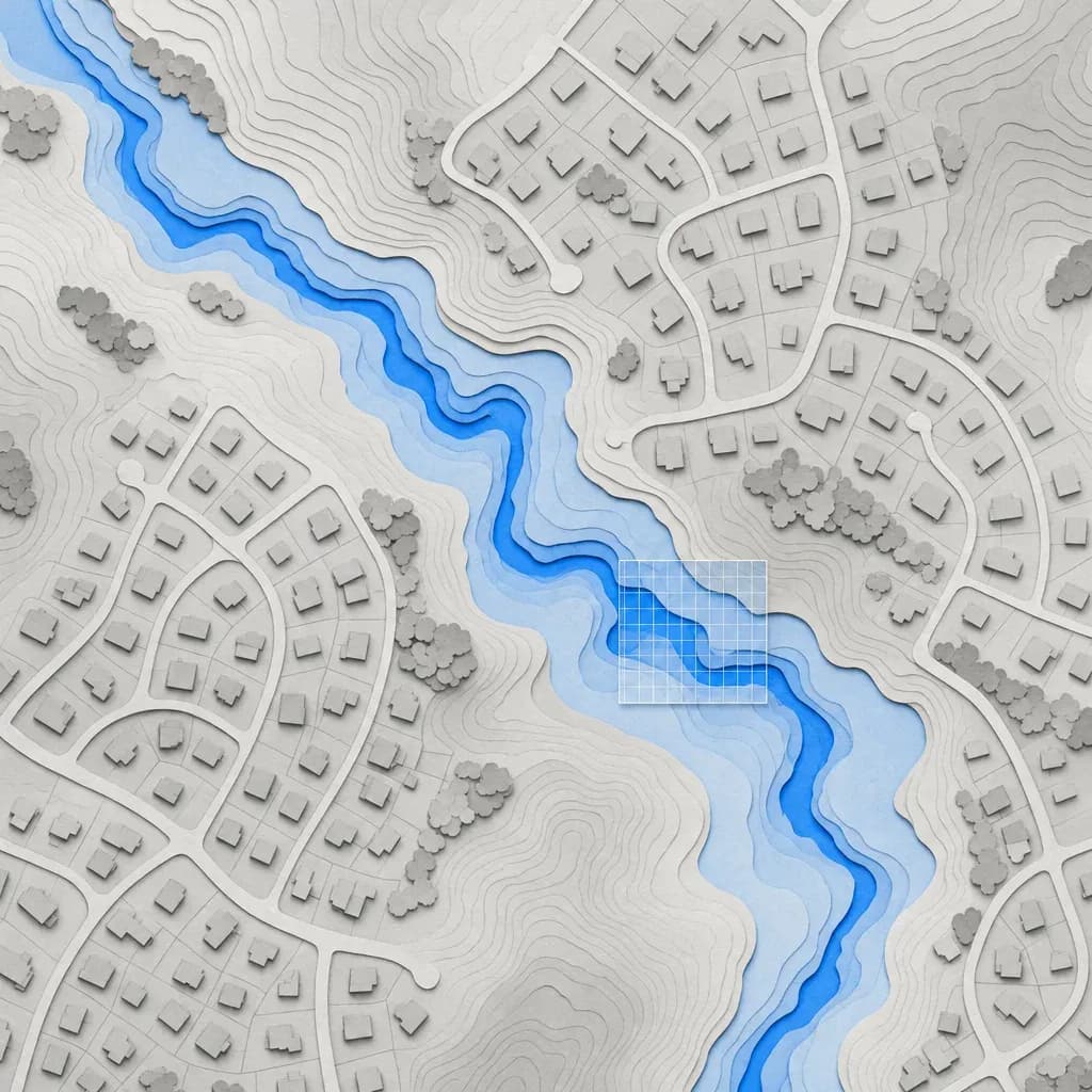
Outdated FEMA Flood Maps: What a Lidar DEM Can and Can't Fix
How FEMA uses terrain in a LOMR, CLOMR and Risk MAP study, what a lidar DEM changes in the model, and what 3DEP already covers in SoCal and Metro Atlanta.
March 18, 2026

Drone LiDAR for Watershed Development: The Complete Guide
Everything watershed professionals need to know about drone LiDAR: how it works, what data products it generates, accuracy specifications, what drives cost, and how to integrate it into GIS-based hydrological workflows.
March 11, 2026
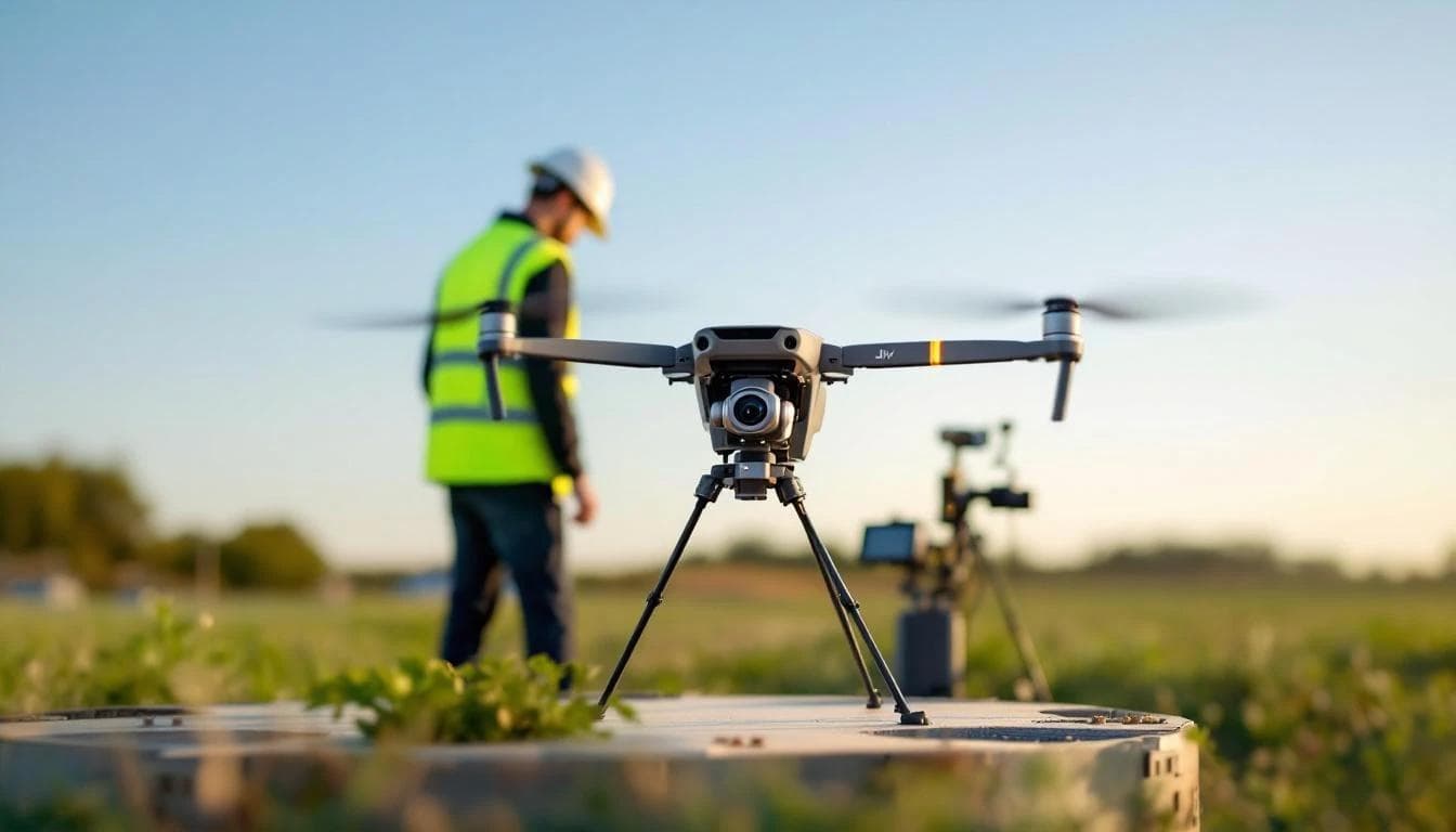
12 Questions to Ask a Drone LiDAR Survey Provider
Not all drone survey companies deliver the same quality. Use these 12 questions to evaluate LiDAR providers on accuracy, methodology, deliverables, and value before signing a contract.
March 4, 2026
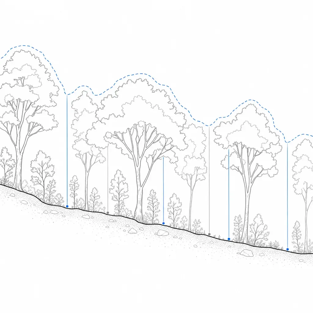
LiDAR vs Photogrammetry vs Traditional Survey: Accuracy Compared
Five terrain sources compared on published accuracy, with a decision diagram and scenario picks, including what changes under tree canopy.
February 4, 2026